|
search place name
|
||
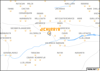
Jichuraya (La Paz, Bolivia)Jichuraya is a town in the La Paz region of Bolivia. An overview map of the region around Jichuraya is displayed below.
regional and 3d topo map of Jichuraya, Bolivia ::
Jichuraya airports ::
The nearest airport is LPB - La Paz El Alto Intl, located 133.6 km north east of Jichuraya.
Other airports nearby include TCQ - Tacna Coronel Carlos Ciriani Santa Rosa Intl (152.5 km south west), ARI - Arica Chacalluta (174.7 km south west), JUL - Juliaca (252.8 km north west), Nearby towns ::
General Campero (1.8km east) //
Suraraya (1.8km east) //
Ibacori (1.9km north) //
Cora (1.9km north) //
Calamachi (3.7km south) //
Amani (5.1km north east) //
Huañuma (5.1km south east) //
Jachavico (5.1km north west) //
Vilcapalca (5.3km west) //
Cusiri (5.3km east) //
Villapampa (5.6km north) //
Sopocachi (5.6km east) //
Sopocachi (5.6km east) //
Maticu-Uta (6.6km north east) //
Guana-Chua (6.5km south east) //
Mallcu-Uta (6.6km north west) //
Opacachan (7.3km east) //
Uma-Acsi (7.3km west) //
Guaricallapa (7.6km north) //
Cruz Vilque (7.7km north east) //
Putiri (8.2km south east) //
Nasani (8.2km north west) //
Achavico (9.0km north east) //
Tarucahi (9.1km south west) //
[all distances 'as the bird flies' and approximate] 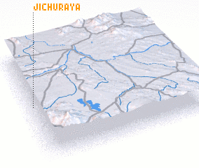
Disclaimer :: Information on this page comes without warranty of any kind |
||
|
Where is Jichuraya? Elevation and coordinates ::
Latitude (lat): 17°27'0"S Longitude (lon): 68°59'0"W
Elevation (approx.): 3918m (map arrows pan, magnifying glasses zoom) |
||
|
Visiting Jichuraya? Hotel/Accommodation ::
Book a hotel in Jichuraya Travel Guide ::
Buy a travel guide for Bolivia rental cars ::
car rental offers GPS waypoint ::
download a GPX waypoint (PoI) of Jichuraya for your GPS receiver
|
||