|
search place name
|
||
Limoncito (Santa Cruz, Bolivia)Limoncito is a town in the Santa Cruz region of Bolivia. An overview map of the region around Limoncito is displayed below.
regional and 3d topo map of Limoncito, Bolivia ::
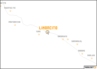
Nearby towns ::
Yupe (3.5km west) //
San Pedro (5.6km east) //
Las Troncas (7.3km east) //
[all distances 'as the bird flies' and approximate] 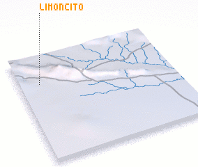 Places with similar names to Limoncito, Bolivia ::
// Lemon City (US)
// Limoncito (PA)
// Limoncito (CU)
// Limoncito (CU)
// Lumineşti (RO)
// Lumineşti (RO)
// Lumineşti (RO)
// La Mansita (CO)
// Limoncito (CO)
// Limoncito (CO)
Disclaimer :: Information on this page comes without warranty of any kind |
||
|
Where is Limoncito? Elevation and coordinates ::
Latitude (lat): 18°16'0"S Longitude (lon): 59°52'0"W
Elevation (approx.): 290m (map arrows pan, magnifying glasses zoom) |
||
|
Visiting Limoncito? Hotel/Accommodation ::
Book a hotel in Limoncito Travel Guide ::
Buy a travel guide for Bolivia rental cars ::
car rental offers GPS waypoint ::
download a GPX waypoint (PoI) of Limoncito for your GPS receiver
|
||