|
search place name
|
||
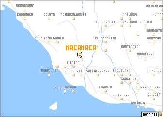
Macamaca (La Paz, Bolivia)Macamaca is a town in the La Paz region of Bolivia. An overview map of the region around Macamaca is displayed below.
regional and 3d topo map of Macamaca, Bolivia ::
Macamaca airports ::
The nearest airport is LPB - La Paz El Alto Intl, located 110.6 km south east of Macamaca.
Other airports nearby include JUL - Juliaca (135.7 km west), Nearby towns ::
Chantamarca (0.0km north) //
Sisasani (2.6km south west) //
Pacama (2.6km south west) //
Zamora (3.7km south) //
Quillima (4.0km south west) //
Llojllata (4.1km south west) //
Pacaria (5.1km south east) //
Sallaca Pampa (5.1km south east) //
Gala Guacane (5.7km east) //
Chojña Pata (5.7km east) //
Exaltación (5.7km west) //
Kascapa (6.5km north west) //
Culapacheta (6.5km north east) //
Ancoraimes (7.6km south) //
Ispaya (7.6km south) //
Chaguaya (8.0km north west) //
Pueblo Abajo (8.2km south west) //
Púlpito del Diablo (8.0km north west) //
Querguati (8.0km south west) //
Canta (8.0km south east) //
Chojñacota (9.1km north east) //
Cajiata (9.1km south east) //
[all distances 'as the bird flies' and approximate]  Places with similar names to Macamaca, Bolivia ::
Disclaimer :: Information on this page comes without warranty of any kind |
||
|
Where is Macamaca? Elevation and coordinates ::
Latitude (lat): 15°50'0"S Longitude (lon): 68°57'0"W
Elevation (approx.): 3999m (map arrows pan, magnifying glasses zoom) |
||
|
Visiting Macamaca? Hotel/Accommodation ::
Book a hotel in Macamaca Travel Guide ::
Buy a travel guide for Bolivia rental cars ::
car rental offers GPS waypoint ::
download a GPX waypoint (PoI) of Macamaca for your GPS receiver
|
||