|
search place name
|
||
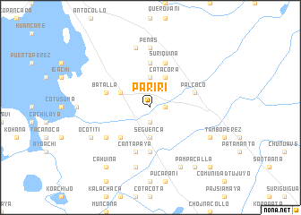
Pariri (La Paz, Bolivia)Pariri is a town in the La Paz region of Bolivia. An overview map of the region around Pariri is displayed below.
regional and 3d topo map of Pariri, Bolivia ::
Pariri airports ::
The nearest airport is LPB - La Paz El Alto Intl, located 39.4 km south east of Pariri.
Other airports nearby include JUL - Juliaca (200.9 km north west), TCQ - Tacna Coronel Carlos Ciriani Santa Rosa Intl (269.5 km south west), Nearby towns ::
Batallas (1.9km south) //
Yarhuichambi (1.8km east) //
Cutuhuyo (1.8km east) //
Següenca (3.7km south) //
Carhuisa (3.7km north) //
Batallas (4.0km north west) //
Catacora (4.1km north east) //
Calasaya (5.1km south west) //
Chijipata (5.1km south west) //
Comunidad Hospital (5.6km south) //
Chirapaca (5.6km north) //
Palcoco (5.6km east) //
Batalla (5.6km west) //
Corqueamaya (5.6km east) //
Cantapaya (5.8km south) //
Esquillani (5.8km north) //
Suriquiña (5.8km north) //
Chiarpata (6.5km south west) //
Peñas (7.4km north) //
Comunidad Anta Pata (7.6km south) //
Pajcha (7.6km north) //
Chaucha (8.2km south east) //
Ocotiti (8.0km south west) //
Viruhuya (8.0km south east) //
Cahuiña (9.1km south west) //
Pampacalla (9.1km south east) //
Comunidad Chipamaya (10.3km south east) //
[all distances 'as the bird flies' and approximate] 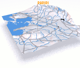 Places with similar names to Pariri, Bolivia ::
Disclaimer :: Information on this page comes without warranty of any kind |
||
|
Where is Pariri? Elevation and coordinates ::
Latitude (lat): 16°19'0"S Longitude (lon): 68°30'0"W
Elevation (approx.): 3878m (map arrows pan, magnifying glasses zoom) |
||
|
Visiting Pariri? Hotel/Accommodation ::
Book a hotel in Pariri Travel Guide ::
Buy a travel guide for Bolivia rental cars ::
car rental offers GPS waypoint ::
download a GPX waypoint (PoI) of Pariri for your GPS receiver
|
||