|
search place name
|
||
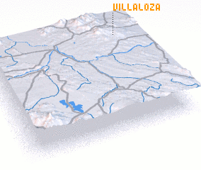
Villa Loza (La Paz, Bolivia)Villa Loza is a town in the La Paz region of Bolivia. An overview map of the region around Villa Loza is displayed below.
regional and 3d topo map of Villa Loza, Bolivia ::

Villa Loza airports ::
The nearest airport is LPB - La Paz El Alto Intl, located 55.5 km north of Villa Loza.
Other airports nearby include CBB - Cochabamba Jorge Wilsterman (206.3 km east), Nearby towns ::
 Places with similar names to Villa Loza, Bolivia ::
// Vila Lusã (PT)
// Velillas (ES)
// Villalís (ES)
// Villaluz (ES)
// Villa Luisa (CO)
// Villa Luz (CO)
// Villa Elisa (UY)
// Villa Luz (HN)
// Villa Luisa (PE)
// Villa Elisa (PY)
Disclaimer :: Information on this page comes without warranty of any kind |
||
|
Where is Villa Loza? Elevation and coordinates ::
Latitude (lat): 17°0'0"S Longitude (lon): 68°4'0"W
Elevation (approx.): 3982m (map arrows pan, magnifying glasses zoom) |
||
|
Visiting Villa Loza? Hotel/Accommodation ::
Book a hotel in Villa Loza Travel Guide ::
Buy a travel guide for Bolivia rental cars ::
car rental offers GPS waypoint ::
download a GPX waypoint (PoI) of Villa Loza for your GPS receiver
|
||