|
search place name
|
||
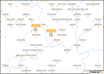
Awaé (Cameroon)Awaé is a town in Cameroon. An overview map of the region around Awaé is displayed below.
regional and 3d topo map of Awaé, Cameroon ::
Awaé airports ::
The nearest airport is YAO - Yaounde Ville, located 29.2 km north of Awaé.
Other airports nearby include BMM - Bitam (167.1 km south), DLA - Douala (214.0 km west), BFX - Bafoussam (256.5 km north west), BSG - Bata (272.4 km south west), Nearby towns ::
Ndanging (1.9km south) //
Nkolméfou II (1.9km south) //
Abang (2.6km south east) //
Abimoa (2.6km south east) //
Nkolméva (3.7km east) //
Ekombitié (4.1km south east) //
Okong (4.1km north east) //
Ndagnan (4.1km north west) //
Ntoumou (5.2km north west) //
Asanzoa (5.5km west) //
Awaé (5.9km west) //
Mbadoumou I (5.9km west) //
Ndanging I (5.9km north) //
Akomnyada II (6.7km south west) //
Ndziéfidi (7.4km north) //
Ovangou (7.6km west) //
Akomnyada I (7.9km south west) //
Ekidmékoé (7.9km north east) //
Mbéga (7.9km south east) //
Loum II (8.3km north east) //
Ekali (9.3km north west) //
Nkolngok (10.5km south west) //
[all distances 'as the bird flies' and approximate] 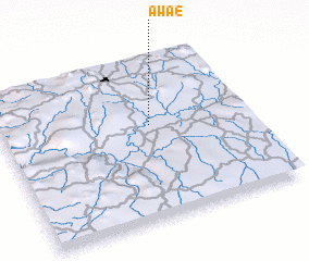 Places with similar names to Awaé, Cameroon ::
Disclaimer :: Information on this page comes without warranty of any kind |
||
|
Where is Awaé? Elevation and coordinates ::
Latitude (lat): 3°35'0"N Longitude (lon): 11°36'0"E
Elevation (approx.): 669m (map arrows pan, magnifying glasses zoom) |
||
|
Visiting Awaé? Hotel/Accommodation ::
Book a hotel in Awaé Travel Guide ::
Buy a travel guide for Cameroon rental cars ::
car rental offers GPS waypoint ::
download a GPX waypoint (PoI) of Awaé for your GPS receiver
|
||