|
search place name
|
||
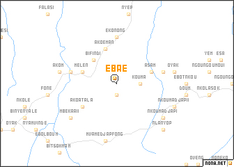
Ebaé (Cameroon)Ebaé is a town in Cameroon. An overview map of the region around Ebaé is displayed below.
regional and 3d topo map of Ebaé, Cameroon ::
Ebaé airports ::
The nearest airport is YAO - Yaounde Ville, located 76.3 km north of Ebaé.
Other airports nearby include BMM - Bitam (119.4 km south), OYE - Oyem (177.7 km south), DLA - Douala (229.4 km north west), BSG - Bata (242.4 km south west), Nearby towns ::
Eloné (1.9km south) //
Kouma (3.7km east) //
Bifindi (5.2km north west) //
Mélen (5.9km west) //
Akoéman (5.9km north) //
Asam (5.9km east) //
Akoatala (6.7km south west) //
Ndonko (7.4km north) //
Ekonong (7.4km north) //
Awaé Fala (7.6km west) //
Ongongo (7.6km east) //
Mbékaa II (9.3km south west) //
Nkoumadjap I (9.3km south east) //
Nlanyop (10.5km south east) //
[all distances 'as the bird flies' and approximate] 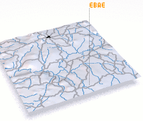 Places with similar names to Ebaé, Cameroon ::
Disclaimer :: Information on this page comes without warranty of any kind |
||
|
Where is Ebaé? Elevation and coordinates ::
Latitude (lat): 3°9'0"N Longitude (lon): 11°36'0"E
Elevation (approx.): 697m (map arrows pan, magnifying glasses zoom) |
||
|
Visiting Ebaé? Hotel/Accommodation ::
Book a hotel in Ebaé Travel Guide ::
Buy a travel guide for Cameroon rental cars ::
car rental offers GPS waypoint ::
download a GPX waypoint (PoI) of Ebaé for your GPS receiver
|
||