|
search place name
|
||
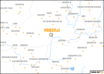
Mabonji (South-West, Cameroon)Mabonji is a town in the South-West region of Cameroon. An overview map of the region around Mabonji is displayed below.
regional and 3d topo map of Mabonji, Cameroon ::
Mabonji airports ::
The nearest airport is TKC - Tiko, located 56.4 km south of Mabonji.
Other airports nearby include DLA - Douala (85.2 km south east), CBQ - Calabar (104.6 km north west), SSG - Malabo (105.7 km south west), BFX - Bafoussam (166.5 km north east), Nearby towns ::
Ngongo (4.4km south east) //
Metoko Ma Bekondo (4.6km north) //
Nganjo Bolende (4.7km west) //
Bole (6.2km east) //
Dienyi (7.2km north) //
Dora (7.6km north) //
Nganjo (7.7km west) //
Mokona (7.8km north west) //
Pundu (9.4km south west) //
Baba (9.9km south west) //
Bai Longe (10.5km south east) //
Bombanda (10.8km north east) //
Barombi Koto (11.5km south east) //
[all distances 'as the bird flies' and approximate] 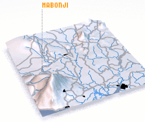 Places with similar names to Mabonji, Cameroon ::
Disclaimer :: Information on this page comes without warranty of any kind |
||
|
Where is Mabonji? Elevation and coordinates ::
Latitude (lat): 4°34'24"N Longitude (lon): 9°12'1"E
Elevation (approx.): 97m (map arrows pan, magnifying glasses zoom) |
||
|
Visiting Mabonji? Hotel/Accommodation ::
Book a hotel in Mabonji Travel Guide ::
Buy a travel guide for Cameroon rental cars ::
car rental offers GPS waypoint ::
download a GPX waypoint (PoI) of Mabonji for your GPS receiver
|
||