|
search place name
|
||
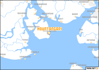
Mountangari (Cameroon)Mountangari is a town in Cameroon. An overview map of the region around Mountangari is displayed below.
regional and 3d topo map of Mountangari, Cameroon ::
Mountangari airports ::
The nearest airport is DLA - Douala, located 21.1 km east of Mountangari.
Other airports nearby include TKC - Tiko (23.5 km north west), SSG - Malabo (94.5 km west), CBQ - Calabar (172.6 km north west), BFX - Bafoussam (196.1 km north east), Nearby towns ::
Kombo Mianjou (0.7km north) //
Wongué (6.5km north west) //
Bouma (6.6km north) //
Bésoukoudou (6.6km west) //
Ngoti (6.7km north east) //
Kombo-Moukenda (6.8km north) //
Moukala Tanda (6.9km north east) //
Moungangué (7.3km north) //
Grand Mboka (7.6km west) //
Dou-la-Poka (7.7km north west) //
Moudolo (9.3km south west) //
Small Kombo (9.8km north west) //
Kombo Mounja (9.9km north west) //
[all distances 'as the bird flies' and approximate] 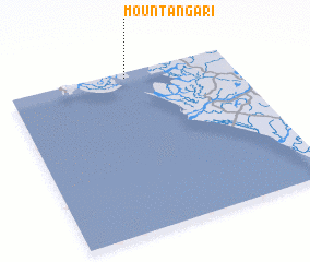 Places with similar names to Mountangari, Cameroon ::
// Monte Negro (PT)
// Monte Negro (PT)
// Montengrão (PT)
// Montenegro (CU)
// Montnegre (ES)
// Mendinagar (BD)
// Montenegro (CL)
// Monte Negro (CO)
// Montenegro (CO)
// Montenegro (CO)
Disclaimer :: Information on this page comes without warranty of any kind |
||
|
Where is Mountangari? Elevation and coordinates ::
Latitude (lat): 3°58'0"N Longitude (lon): 9°32'0"E
Elevation (approx.): -32768m (map arrows pan, magnifying glasses zoom) |
||
|
Visiting Mountangari? Hotel/Accommodation ::
Book a hotel in Mountangari Travel Guide ::
Buy a travel guide for Cameroon rental cars ::
car rental offers GPS waypoint ::
download a GPX waypoint (PoI) of Mountangari for your GPS receiver
|
||