|
search place name
|
||
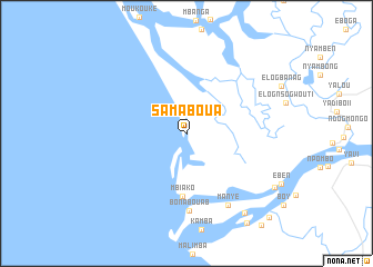
Samaboua (Littoral, Cameroon)Samaboua is a town in the Littoral region of Cameroon. An overview map of the region around Samaboua is displayed below.
regional and 3d topo map of Samaboua, Cameroon ::
Samaboua airports ::
The nearest airport is DLA - Douala, located 40.5 km north of Samaboua.
Other airports nearby include TKC - Tiko (58.2 km north west), SSG - Malabo (104.7 km west), BSG - Bata (193.5 km south), CBQ - Calabar (205.8 km north west), Nearby towns ::
Bouéa (1.3km north) //
Etoba-Bibongo (2.3km north) //
Mbiako (6.4km south) //
Bonabouab (7.8km south) //
Bogninga (8.3km south east) //
Manyé (8.3km south east) //
Botonga (9.9km south east) //
Moulongo (10.4km south east) //
Bohengué (11.8km south east) //
[all distances 'as the bird flies' and approximate] 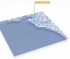 Places with similar names to Samaboua, Cameroon ::
Disclaimer :: Information on this page comes without warranty of any kind |
||
|
Where is Samaboua? Elevation and coordinates ::
Latitude (lat): 3°38'52"N Longitude (lon): 9°38'43"E
Elevation (approx.): -32768m (map arrows pan, magnifying glasses zoom) |
||
|
Visiting Samaboua? Hotel/Accommodation ::
Book a hotel in Samaboua Travel Guide ::
Buy a travel guide for Cameroon rental cars ::
car rental offers GPS waypoint ::
download a GPX waypoint (PoI) of Samaboua for your GPS receiver
|
||