|
search place name
|
||
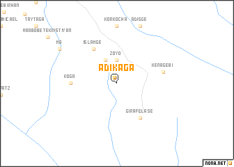
Ādī Kʼaga (Ethiopia)Ādī Kʼaga is a town in Ethiopia. An overview map of the region around Ādī Kʼaga is displayed below.
regional and 3d topo map of Ādī Kʼaga, Ethiopia ::
Ādī Kʼaga airports ::
The nearest airport is GDQ - Gondar, located 103.8 km south west of Ādī Kʼaga.
Other airports nearby include LLI - Lalibella (127.7 km south east), AXU - Axum (145.4 km north), MQX - Makale (146.9 km north east), BJR - Bahar Dar Bahir Dar (179.7 km south west), Nearby towns ::
Zoyo (3.7km north) //
Islamgē (4.1km north west) //
Islamgē (6.6km north west) //
Gira Felasē (6.6km south east) //
Kʼoga (7.2km west) //
Zebīb (7.2km west) //
Kʼena Gebī (7.5km east) //
[all distances 'as the bird flies' and approximate] 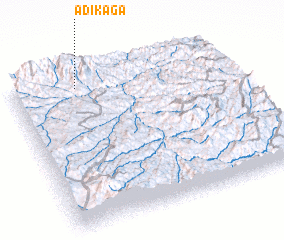 Places with similar names to Ādī Kʼaga, Ethiopia ::
// Adcock (ZA)
// Atacco (MX)
// Ad Daqqāqah (SD)
// Atecaca (PE)
// Ad Daqqāqah (SY)
// Ad Dukaykah (SY)
// Adegoke (NG)
// Aït Acco (MA)
// Ādī Āgag (ET)
// Adakaka (NG)
Disclaimer :: Information on this page comes without warranty of any kind |
||
|
Where is Ādī Kʼaga? Elevation and coordinates ::
Latitude (lat): 12°55'0"N Longitude (lon): 38°18'0"E
Elevation (approx.): 2509m (map arrows pan, magnifying glasses zoom) |
||
|
Visiting Ādī Kʼaga? Hotel/Accommodation ::
Book a hotel in Ādī Kʼaga Travel Guide ::
Buy a travel guide for Ethiopia rental cars ::
car rental offers GPS waypoint ::
download a GPX waypoint (PoI) of Ādī Kʼaga for your GPS receiver
|
||