|
search place name
|
||
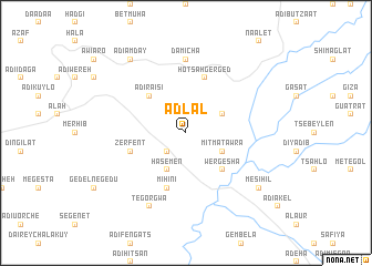
Ādlal (Ethiopia)Ādlal is a town in Ethiopia. An overview map of the region around Ādlal is displayed below.
regional and 3d topo map of Ādlal, Ethiopia ::
Ādlal airports ::
The nearest airport is MQX - Makale, located 28.3 km south east of Ādlal.
Other airports nearby include AXU - Axum (83.1 km north west), LLI - Lalibella (189.6 km south), GDQ - Gondar (242.5 km south west), Nearby towns ::
Enda Mariam Tucul (2.6km south west) //
Mikʼimatʼ Āriwa (4.1km north east) //
Mitʼmatʼ Āwra (4.1km south east) //
Hasemen (4.1km south west) //
Wergesha (5.2km south east) //
Ādī Ra‘isī (5.2km north west) //
Hotsʼah Gerged (5.8km north) //
Mihinī (5.8km south) //
Zerfent (5.7km west) //
Damīcha (7.4km north) //
Tegorgwa (8.2km south west) //
Mesihil (9.1km south east) //
Ādī Āmday (9.2km north west) //
[all distances 'as the bird flies' and approximate] 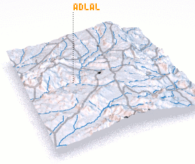 Places with similar names to Ādlal, Ethiopia ::
// Aouid Ellèl (TD)
// At Tulūl (SY)
// At Tulayl (LB)
// Aït Ali Ou Allah (MA)
// Aït Lil (MA)
// Aït Lahlou (MA)
// Aït Oualil (MA)
// Aït Illoul (MA)
// Adi Alele (ET)
// Aït Ahlal (DZ)
Disclaimer :: Information on this page comes without warranty of any kind |
||
|
Where is Ādlal? Elevation and coordinates ::
Latitude (lat): 13°39'0"N Longitude (lon): 39°21'0"E
Elevation (approx.): 1992m (map arrows pan, magnifying glasses zoom) |
||
|
Visiting Ādlal? Hotel/Accommodation ::
Book a hotel in Ādlal Travel Guide ::
Buy a travel guide for Ethiopia rental cars ::
car rental offers GPS waypoint ::
download a GPX waypoint (PoI) of Ādlal for your GPS receiver
|
||