|
search place name
|
||
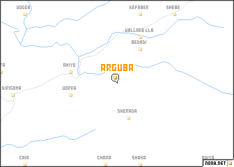
Arguba (Ethiopia)Arguba is a town in Ethiopia. An overview map of the region around Arguba is displayed below.
regional and 3d topo map of Arguba, Ethiopia ::
Arguba airports ::
The nearest airport is JIM - Jimma, located 51.5 km north east of Arguba.
Other airports nearby include AMH - Arba Minch (197.5 km south east), GMB - Gambella (221.5 km west), Nearby towns ::
Sherada (5.9km south) //
Bedadī (6.7km north east) //
Uorka (7.6km west) //
Āmīyo (7.6km west) //
Ualla Kella (8.3km north east) //
[all distances 'as the bird flies' and approximate] 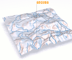 Places with similar names to Arguba, Ethiopia ::
// Ar Raqabah (EG)
// Ar Riqāb (TN)
// Arkabay (KZ)
// Ar Rukbah (SA)
// Ar Rukūbah (SA)
// Arigabo (SN)
// Ar Raqabah (SD)
// Ar Rukab (SD)
// Ar Ruqaybah (SD)
// Ar Raqabah (LY)
Disclaimer :: Information on this page comes without warranty of any kind |
||
|
Where is Arguba? Elevation and coordinates ::
Latitude (lat): 7°24'0"N Longitude (lon): 36°26'0"E
Elevation (approx.): 1471m (map arrows pan, magnifying glasses zoom) |
||
|
Visiting Arguba? Hotel/Accommodation ::
Book a hotel in Arguba Travel Guide ::
Buy a travel guide for Ethiopia rental cars ::
car rental offers GPS waypoint ::
download a GPX waypoint (PoI) of Arguba for your GPS receiver
|
||