|
search place name
|
||
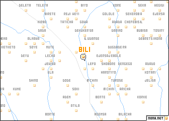
Bīlī (Ethiopia)Bīlī is a town in Ethiopia. An overview map of the region around Bīlī is displayed below.
regional and 3d topo map of Bīlī, Ethiopia ::
Bīlī airports ::
The nearest airport is ADD - Addis Ababa Bole Intl, located 64.1 km south east of Bīlī.
Other airports nearby include JIM - Jimma (254.0 km south west), Nearby towns ::
Shobrē (1.9km north) //
Bīshan Dīmo (1.9km south) //
Lefo (2.6km south east) //
Gatīra (2.6km north west) //
Dēra (3.7km east) //
Īlu Dansē (4.1km north east) //
Ējersa Jebolē (5.5km east) //
Deku Kʼersa (5.6km north) //
Robī (5.5km west) //
Inchʼīnī (5.9km south) //
Dansē (5.8km east) //
Tumtu (5.8km west) //
Shoborē (5.8km east) //
Haro Tīyo (6.6km south east) //
Dodē (6.7km south west) //
Gowa (7.4km north) //
Lēchʼa (7.3km west) //
Dugda Dēra (7.5km east) //
Mutʼē (7.5km west) //
Mīnīso (7.6km south) //
Setʼē (7.6km south) //
Sokʼī (7.6km south) //
Jewīsa (7.5km west) //
Chʼanchʼo (7.8km south east) //
Gongo (7.8km south east) //
Tʼatʼīcha (8.3km north west) //
Ēla (8.2km south west) //
Tʼurosē (9.2km south east) //
Kessuma (9.2km north east) //
[all distances 'as the bird flies' and approximate] 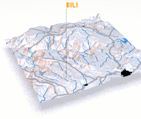 Places with similar names to Bīlī, Ethiopia ::
Disclaimer :: Information on this page comes without warranty of any kind |
||
|
Where is Bīlī? Elevation and coordinates ::
Latitude (lat): 9°22'0"N Longitude (lon): 38°22'0"E
Elevation (approx.): 2515m (map arrows pan, magnifying glasses zoom) |
||
|
Visiting Bīlī? Hotel/Accommodation ::
Book a hotel in Bīlī Travel Guide ::
Buy a travel guide for Ethiopia rental cars ::
car rental offers GPS waypoint ::
download a GPX waypoint (PoI) of Bīlī for your GPS receiver
|
||