|
search place name
|
||
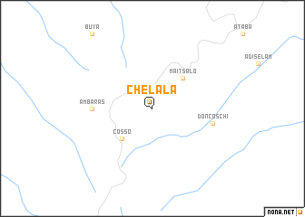
Chelala (Ethiopia)Chelala is a town in Ethiopia. An overview map of the region around Chelala is displayed below.
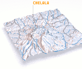
regional and 3d topo map of Chelala, Ethiopia ::
Chelala airports ::
The nearest airport is AXU - Axum, located 94.0 km north east of Chelala.
Other airports nearby include MQX - Makale (133.6 km east), GDQ - Gondar (138.0 km south west), LLI - Lalibella (177.4 km south east), BJR - Bahar Dar Bahir Dar (228.2 km south west), Nearby towns ::
 Places with similar names to Chelala, Ethiopia ::
// Shiloh Hill (US)
// Šiauleliai (LT)
// Chiliile (RO)
// Chiliile (RO)
// Chulilla (ES)
// Chalālī (IR)
// Chālelū (IR)
// Chāl Ghelāgh (IR)
// Chūlalū (IR)
// Chilili (US)
Disclaimer :: Information on this page comes without warranty of any kind |
||
|
Where is Chelala? Elevation and coordinates ::
Latitude (lat): 13°26'0"N Longitude (lon): 38°18'0"E
Elevation (approx.): 2680m (map arrows pan, magnifying glasses zoom) |
||
|
Visiting Chelala? Hotel/Accommodation ::
Book a hotel in Chelala Travel Guide ::
Buy a travel guide for Ethiopia rental cars ::
car rental offers GPS waypoint ::
download a GPX waypoint (PoI) of Chelala for your GPS receiver
|
||