|
search place name
|
||
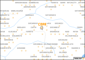
Copà (Guinea-Bissau)Copà is a town in Guinea-Bissau. An overview map of the region around Copà is displayed below.
regional and 3d topo map of Copà, Guinea-Bissau ::
Copà airports ::
The nearest airport is TUD - Tambacounda, located 123.6 km north of Copà.
Other airports nearby include KGG - Kedougou (184.5 km east), BXO - Bissau Oswaldo Vieira Intl (206.6 km south west), LEK - Labe (230.1 km south east), Nearby towns ::
Sinchã Jomé (1.8km east) //
Demba Gina (1.9km north) //
Madina Quélefà (1.9km south) //
Sinchã Jádi (2.6km north east) //
Cuntim (3.6km west) //
Sinchã Samba (4.1km north west) //
Popójè (4.1km north west) //
Orèbodé (4.1km south east) //
Sinchã Boxi (5.4km east) //
Temanto (5.7km west) //
Orè Maundè (5.7km east) //
Sintiân Sana (6.6km north east) //
Tambandinto (7.4km south) //
Daifa (7.5km west) //
Sinchã Búdi (7.6km south) //
Sinchã Coi (7.5km east) //
Cantire (7.5km east) //
Panangar (7.8km north west) //
Velíngarà Samba (8.2km south east) //
Canquelifá (10.4km south east) //
[all distances 'as the bird flies' and approximate] 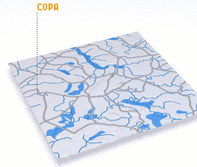 Places with similar names to Copà, Guinea-Bissau ::
Disclaimer :: Information on this page comes without warranty of any kind |
||
|
Where is Copà? Elevation and coordinates ::
Latitude (lat): 12°39'0"N Longitude (lon): 13°55'0"W
Elevation (approx.): 71m (map arrows pan, magnifying glasses zoom) |
||
|
Visiting Copà? Hotel/Accommodation ::
Book a hotel in Copà Travel Guide ::
rental cars ::
car rental offers GPS waypoint ::
download a GPX waypoint (PoI) of Copà for your GPS receiver
|
||