|
search place name
|
||
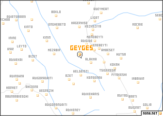
Gēygēs (Ethiopia)Gēygēs is a town in Ethiopia. An overview map of the region around Gēygēs is displayed below.
regional and 3d topo map of Gēygēs, Ethiopia ::
Gēygēs airports ::
The nearest airport is AXU - Axum, located 67.8 km south west of Gēygēs.
Other airports nearby include MQX - Makale (103.8 km south), GDQ - Gondar (292.9 km south west), Nearby towns ::
Ālakʼma (2.5km south east) //
Ādī Gide (3.3km north) //
Fadī (3.4km north east) //
Welde Istī (4.0km south) //
Menebeytī (4.6km north east) //
Menebeytī (5.0km north east) //
Bēt Kʼīrkʼos (5.2km east) //
Āzet (5.7km south west) //
Tsʼahwa (5.9km north east) //
Āmbeset (6.0km east) //
Kerseraw (6.2km south east) //
Mezabir (6.1km west) //
Duhutsʼa (6.3km south) //
Kʼezkʼezīya (6.9km north) //
Tsʼigēreda (7.0km south east) //
Hāger Hise (7.2km north) //
Kʼokʼah (7.8km east) //
Kinin (8.6km north west) //
Enghebeto (8.8km north west) //
Ligat (8.9km north) //
Fīya Kʼeshī (9.6km south east) //
Wegrezīh (11.5km south west) //
[all distances 'as the bird flies' and approximate] 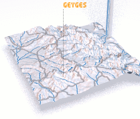 Places with similar names to Gēygēs, Ethiopia ::
Disclaimer :: Information on this page comes without warranty of any kind |
||
|
Where is Gēygēs? Elevation and coordinates ::
Latitude (lat): 14°23'17"N Longitude (lon): 39°21'2"E
Elevation (approx.): 2155m (map arrows pan, magnifying glasses zoom) |
||
|
Visiting Gēygēs? Hotel/Accommodation ::
Book a hotel in Gēygēs Travel Guide ::
Buy a travel guide for Ethiopia rental cars ::
car rental offers GPS waypoint ::
download a GPX waypoint (PoI) of Gēygēs for your GPS receiver
|
||