|
search place name
|
||
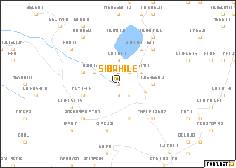
Sībahilē (Ethiopia)Sībahilē is a town in Ethiopia. An overview map of the region around Sībahilē is displayed below.
regional and 3d topo map of Sībahilē, Ethiopia ::
Sībahilē airports ::
The nearest airport is LLI - Lalibella, located 81.2 km south west of Sībahilē.
Other airports nearby include MQX - Makale (105.3 km north), AXU - Axum (196.1 km north west), Nearby towns ::
Ādī Nēba (0.0km north) //
Ādī Hardany (1.9km north) //
Ādī Gefar (1.9km south) //
Āwliʼi Gara (2.6km north east) //
Ādī Weka (2.6km south east) //
Ādī Golo (3.7km north) //
Ādī Washo (4.1km north west) //
Ābīy Imnī (4.1km north east) //
Korem (4.4km east) //
Haramangwa (5.2km north east) //
Ādī Sheshu (5.4km east) //
Ādī Washo (5.7km west) //
May Degē (5.7km west) //
Wemberet (5.8km south) //
Bahir Hatʼera (6.6km north east) //
Ādī Mīnda (7.4km north) //
Kʼuskʼwam (7.6km south) //
Ānaba Behistan (7.8km south west) //
Yet Kʼoyesh (7.8km north east) //
Chʼelema Dur (7.8km south east) //
Ādī Hostos (8.1km south west) //
Ādī Āwso (9.2km north west) //
Habat (9.1km north west) //
Ādī Hamīdo (9.2km north east) //
Mesgīd (10.4km south west) //
[all distances 'as the bird flies' and approximate] 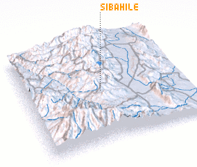 Places with similar names to Sībahilē, Ethiopia :: Disclaimer :: Information on this page comes without warranty of any kind |
||
|
Where is Sībahilē? Elevation and coordinates ::
Latitude (lat): 12°31'0"N Longitude (lon): 39°29'0"E
Elevation (approx.): 2650m (map arrows pan, magnifying glasses zoom) |
||
|
Visiting Sībahilē? Hotel/Accommodation ::
Book a hotel in Sībahilē Travel Guide ::
Buy a travel guide for Ethiopia rental cars ::
car rental offers GPS waypoint ::
download a GPX waypoint (PoI) of Sībahilē for your GPS receiver
|
||