|
search place name
|
||
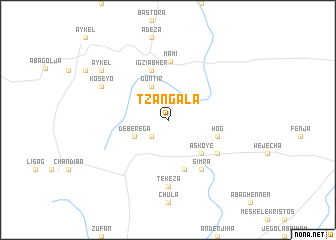
Tzangala (Ethiopia)Tzangala is a town in Ethiopia. An overview map of the region around Tzangala is displayed below.
regional and 3d topo map of Tzangala, Ethiopia ::
Tzangala airports ::
The nearest airport is GDQ - Gondar, located 31.4 km east of Tzangala.
Other airports nearby include BJR - Bahar Dar Bahir Dar (96.8 km south), LLI - Lalibella (206.4 km east), AXU - Axum (255.9 km north east), Nearby towns ::
Kwa (2.6km south west) //
Deberega (4.1km south west) //
Guntir (4.1km north west) //
Āskoyē (5.2km south east) //
Simra (5.8km south) //
Igzīʼābhēr (5.8km north) //
Hog (5.7km east) //
Mamī (6.6km north) //
Simra (6.6km south east) //
Chʼegen (6.6km south east) //
Tekeza (7.4km south) //
Koseyo (8.1km north west) //
Āykel (9.1km north west) //
[all distances 'as the bird flies' and approximate] 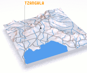 Places with similar names to Tzangala, Ethiopia ::
// Tazen-Kala (RU)
// Tsingaly (RU)
// Ta-hsangle (MM)
// Tisingal (PA)
// Tosunoğlu (TR)
// Dīzīn Kolā (IR)
// Tzuncal (GT)
// Taʼ San Niklaw (MT)
// Tsinagola (GE)
// Dzangalī (AF)
Disclaimer :: Information on this page comes without warranty of any kind |
||
|
Where is Tzangala? Elevation and coordinates ::
Latitude (lat): 12°28'0"N Longitude (lon): 37°9'0"E
Elevation (approx.): 1915m (map arrows pan, magnifying glasses zoom) |
||
|
Visiting Tzangala? Hotel/Accommodation ::
Book a hotel in Tzangala Travel Guide ::
Buy a travel guide for Ethiopia rental cars ::
car rental offers GPS waypoint ::
download a GPX waypoint (PoI) of Tzangala for your GPS receiver
|
||