|
search place name
|
||
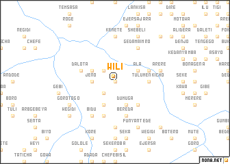
Wilī (Ethiopia)Wilī is a town in Ethiopia. An overview map of the region around Wilī is displayed below.
regional and 3d topo map of Wilī, Ethiopia ::
Wilī airports ::
The nearest airport is ADD - Addis Ababa Bole Intl, located 73.1 km south east of Wilī.
Other airports nearby include JIM - Jimma (276.4 km south west), Nearby towns ::
Dīkiftu (0.0km north) //
Wachʼu (0.0km north) //
Chʼefē Hawiy (2.6km south west) //
Ine Gofo (2.6km north west) //
Jēno (3.7km west) //
Dumuga (4.1km south east) //
Goro Jerbo (4.1km south west) //
Āla (4.1km north east) //
Chʼekʼorsa (4.1km north west) //
Werebo (5.2km south east) //
Tulu Menkīcho (5.5km east) //
Berēda (5.9km south) //
Dalota (5.8km west) //
Wilichʼo (5.9km south) //
Ābotē (5.8km east) //
Gedam Ā‘imro (6.7km north east) //
Āderē (6.7km south west) //
Bīdu (6.7km south west) //
Kʼemetʼē (7.4km north) //
Ula Moroma (7.4km south) //
Ārērē (7.5km east) //
Goro Togo (8.2km south west) //
Shebelī (8.3km north east) //
Funyan Tʼedē (8.3km south east) //
Wegīdī (9.2km south west) //
Odo Āgemso (10.4km north east) //
Dībdībē (10.4km south east) //
[all distances 'as the bird flies' and approximate] 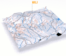 Places with similar names to Wilī, Ethiopia ::
Disclaimer :: Information on this page comes without warranty of any kind |
||
|
Where is Wilī? Elevation and coordinates ::
Latitude (lat): 9°33'0"N Longitude (lon): 38°28'0"E
Elevation (approx.): 2095m (map arrows pan, magnifying glasses zoom) |
||
|
Visiting Wilī? Hotel/Accommodation ::
Book a hotel in Wilī Travel Guide ::
Buy a travel guide for Ethiopia rental cars ::
car rental offers GPS waypoint ::
download a GPX waypoint (PoI) of Wilī for your GPS receiver
|
||