|
search place name
|
||
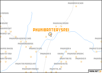
Phumĭ Bântéay Srei (Siĕm Réab, Cambodia)Phumĭ Bântéay Srei is a town in the Siĕm Réab region of Cambodia. An overview map of the region around Phumĭ Bântéay Srei is displayed below.
regional and 3d topo map of Phumĭ Bântéay Srei, Cambodia ::
Phumĭ Bântéay Srei airports ::
The nearest airport is REP - Siem-reap Siem Reap, located 26.8 km south west of Phumĭ Bântéay Srei.
Other airports nearby include NAK - Nakhon Ratchasima Khorat (251.6 km north west), PKZ - Pakse (258.9 km north east), Nearby towns ::
Phumĭ Rôhăl (1.8km west) //
Phumĭ Khŭn Prŭm (4.1km north east) //
Phumĭ Khŭn Réam (5.2km north east) //
Phumĭ Khna (7.6km south) //
Phumĭ Srăh (7.8km south east) //
Phumĭ Stœ̆ng (7.8km south west) //
Phumĭ Khlat (7.8km south west) //
Khvav (8.2km south east) //
Phumĭ Chŭb Saôm (8.1km south west) //
Phumĭ Bâm Pénh Réach (10.3km south west) //
[all distances 'as the bird flies' and approximate] 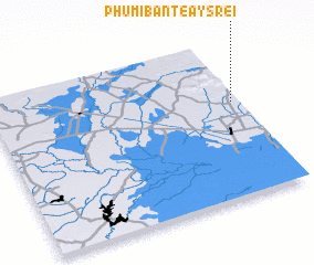 Places with similar names to Phumĭ Bântéay Srei, Cambodia ::
// Phumĭ Bântéay Srê (KH)
// Phumĭ Bântéay Srei (KH)
Disclaimer :: Information on this page comes without warranty of any kind |
||
|
Where is Phumĭ Bântéay Srei? Elevation and coordinates ::
Latitude (lat): 13°36'0"N Longitude (lon): 103°58'0"E
Elevation (approx.): 53m (map arrows pan, magnifying glasses zoom) |
||
|
Visiting Phumĭ Bântéay Srei? Hotel/Accommodation ::
Book a hotel in Phumĭ Bântéay Srei Travel Guide ::
Buy a travel guide for Cambodia rental cars ::
car rental offers GPS waypoint ::
download a GPX waypoint (PoI) of Phumĭ Bântéay Srei for your GPS receiver
|
||