|
search place name
|
||
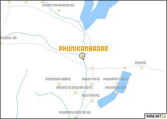
Phumĭ Kâmbaô Âr (Siĕm Réab, Cambodia)Phumĭ Kâmbaô Âr is a town in the Siĕm Réab region of Cambodia. An overview map of the region around Phumĭ Kâmbaô Âr is displayed below.
regional and 3d topo map of Phumĭ Kâmbaô Âr, Cambodia ::
Phumĭ Kâmbaô Âr airports ::
The nearest airport is REP - Siem-reap Siem Reap, located 63.6 km west of Phumĭ Kâmbaô Âr.
Other airports nearby include PNH - Phnom-penh Phnom Penh Intl (214.2 km south), PKZ - Pakse (239.9 km north east), Nearby towns ::
Phumĭ Chŏng Spéan (2.6km south east) //
Phumĭ Thmei (5.8km south) //
Phumĭ Rôviĕng (5.8km south) //
Phumĭ Stœ̆ng Kâmbŏtr (7.6km south) //
Phumĭ Sâpv Bâng (7.8km south west) //
Phumĭ Prâthéat (9.1km south east) //
Phumĭ Krăng (10.3km south east) //
Phumĭ Sraông (10.3km south east) //
[all distances 'as the bird flies' and approximate] 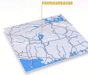 Places with similar names to Phumĭ Kâmbaô Âr, Cambodia ::
// Phumĭ Kâmbaôr (KH)
// Phumĭ Kŏméar (KH)
Disclaimer :: Information on this page comes without warranty of any kind |
||
|
Where is Phumĭ Kâmbaô Âr? Elevation and coordinates ::
Latitude (lat): 13°26'0"N Longitude (lon): 104°24'0"E
Elevation (approx.): 41m (map arrows pan, magnifying glasses zoom) |
||
|
Visiting Phumĭ Kâmbaô Âr? Hotel/Accommodation ::
Book a hotel in Phumĭ Kâmbaô Âr Travel Guide ::
Buy a travel guide for Cambodia rental cars ::
car rental offers GPS waypoint ::
download a GPX waypoint (PoI) of Phumĭ Kâmbaô Âr for your GPS receiver
|
||