|
search place name
|
||
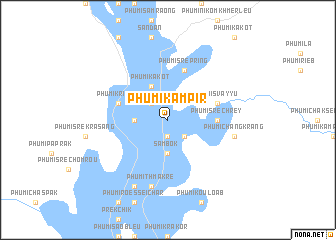
Phumĭ Kămpir (Krâchéh, Cambodia)Phumĭ Kămpir is a town in the Krâchéh region of Cambodia. An overview map of the region around Phumĭ Kămpir is displayed below.
regional and 3d topo map of Phumĭ Kămpir, Cambodia ::
Phumĭ Kămpir airports ::
The nearest airport is PNH - Phnom-penh Phnom Penh Intl, located 175.4 km south west of Phumĭ Kămpir.
Other airports nearby include SGN - Ho Chi Minh City Tansonnhat Intl (210.0 km south), Nearby towns ::
Phumĭ Bŏs Prâhaông (1.9km south) //
Phumĭ Kbal Chuŏr (2.6km north west) //
Phumĭ Srê Pring (2.6km south east) //
Phumĭ Chroŭy Bântéay (3.6km west) //
Sâmbŏk (3.7km south) //
Phumĭ Kakŏt (4.1km north west) //
Phumĭ Srê Chrey (5.4km east) //
Phumĭ Kriĕng (5.7km west) //
Phumĭ Svay Yu (5.7km east) //
Phumĭ Srê Pring (5.8km north) //
Phumĭ Thmâ Krê (7.6km south) //
Phumĭ Chângkrâng (7.5km east) //
Phumĭ L'iĕt (8.2km south west) //
[all distances 'as the bird flies' and approximate] 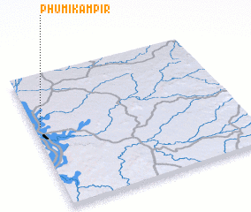 Places with similar names to Phumĭ Kămpir, Cambodia ::
// Phumĭ Kâmprŏu (KH)
Disclaimer :: Information on this page comes without warranty of any kind |
||
|
Where is Phumĭ Kămpir? Elevation and coordinates ::
Latitude (lat): 12°37'0"N Longitude (lon): 106°2'0"E
Elevation (approx.): 23m (map arrows pan, magnifying glasses zoom) |
||
|
Visiting Phumĭ Kămpir? Hotel/Accommodation ::
Book a hotel in Phumĭ Kămpir Travel Guide ::
Buy a travel guide for Cambodia rental cars ::
car rental offers GPS waypoint ::
download a GPX waypoint (PoI) of Phumĭ Kămpir for your GPS receiver
|
||