|
search place name
|
||
Phumĭ Toăp Sdéch (Kâmpóng Thum, Cambodia)Phumĭ Toăp Sdéch is a town in the Kâmpóng Thum region of Cambodia. An overview map of the region around Phumĭ Toăp Sdéch is displayed below.
regional and 3d topo map of Phumĭ Toăp Sdéch, Cambodia ::

Phumĭ Toăp Sdéch airports ::
The nearest airport is REP - Siem-reap Siem Reap, located 138.8 km north west of Phumĭ Toăp Sdéch.
Other airports nearby include PNH - Phnom-penh Phnom Penh Intl (146.6 km south), Nearby towns ::
Phumĭ Chey (1.8km east) //
Phumĭ Bŏs Vêng (1.8km west) //
Phumĭ Lvéa (2.6km south east) //
Phumĭ Ângkŭnh (3.7km south) //
Phumĭ Trâpeăng Arăks (3.7km south) //
Phumĭ Ta Théav (4.1km south east) //
Môhâr (4.1km south east) //
Phumĭ Prey Nŭtthéa (5.6km south) //
Phumĭ Véal Lpeăk (5.8km north) //
Phumĭ Rœssei Duŏch (5.8km north) //
Phumĭ Châmnar (6.6km north east) //
Phumĭ Srál (7.5km east) //
Phumĭ Spéan Thmâ (7.6km north) //
Phumĭ Dâng Ânteăk (7.8km north east) //
Phumĭ Prêk (9.1km south east) //
[all distances 'as the bird flies' and approximate] 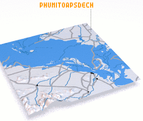 Places with similar names to Phumĭ Toăp Sdéch, Cambodia ::
// Phumĭ Toăp Sdéch (KH)
Disclaimer :: Information on this page comes without warranty of any kind |
||
|
Where is Phumĭ Toăp Sdéch? Elevation and coordinates ::
Latitude (lat): 12°52'0"N Longitude (lon): 104°58'0"E
Elevation (approx.): 20m (map arrows pan, magnifying glasses zoom) |
||
|
Visiting Phumĭ Toăp Sdéch? Hotel/Accommodation ::
Book a hotel in Phumĭ Toăp Sdéch Travel Guide ::
Buy a travel guide for Cambodia rental cars ::
car rental offers GPS waypoint ::
download a GPX waypoint (PoI) of Phumĭ Toăp Sdéch for your GPS receiver
|
||