|
search place name
|
||
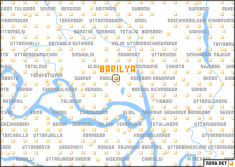
Bārilya (Barisāl, Bangladesh)Bārilya is a town in the Barisāl region of Bangladesh. An overview map of the region around Bārilya is displayed below.
regional and 3d topo map of Bārilya, Bangladesh ::
Bārilya airports ::
The nearest airport is DAC - Dhaka Zia Intl, located 20.3 km east of Bārilya.
Other airports nearby include IXA - Agartala (106.0 km east), IRD - Ishurdi (121.3 km west), JSR - Jessore (130.3 km south west), RJH - Rajshahi Shah Mokhdum (172.9 km west), Nearby towns ::
Siti (0.0km north) //
Naogaonkāit (0.0km north) //
Kundakhola (0.0km north) //
Palli (0.0km north) //
Kātar Bālia (0.0km north) //
Bāghāran (0.0km north) //
Bijāsin (0.0km north) //
Roāil (1.7km west) //
Makhalia (1.7km east) //
Sāchhna (1.7km east) //
Paschim Gopālpur (1.7km west) //
Purba Bārigaon (2.5km north east) //
Deli Gāngāil (2.5km north west) //
Jalsin (2.5km north west) //
Solākura (2.5km north west) //
Imām Gāngāil (2.5km north west) //
Paschim Bārigaon (2.5km north east) //
Kāklāin (2.5km north east) //
Dakshin Pāichāil (2.5km north west) //
Seorāil (2.5km north west) //
Bārakāir (2.5km south east) //
Sungar (2.5km south west) //
Lāruākunda (2.7km north) //
Char Sungar (2.9km south west) //
Porābāri (3.4km east) //
Goāldi (3.4km east) //
Bādda (3.4km east) //
Ghoradia (3.4km east) //
Māmura (3.4km east) //
[all distances 'as the bird flies' and approximate] 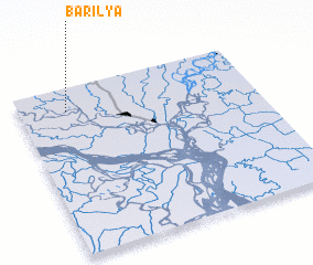
Disclaimer :: Information on this page comes without warranty of any kind |
||
|
Where is Bārilya? Elevation and coordinates ::
Latitude (lat): 23°52'0"N Longitude (lon): 90°12'0"E
Elevation (approx.): 6m (map arrows pan, magnifying glasses zoom) |
||
|
Visiting Bārilya? Hotel/Accommodation ::
Book a hotel in Bārilya Travel Guide ::
Buy a travel guide for Bangladesh rental cars ::
car rental offers GPS waypoint ::
download a GPX waypoint (PoI) of Bārilya for your GPS receiver
|
||