|
search place name
|
||
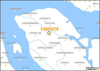
Char Sita (Barisāl, Bangladesh)Char Sita is a town in the Barisāl region of Bangladesh. An overview map of the region around Char Sita is displayed below.
regional and 3d topo map of Char Sita, Bangladesh ::
Char Sita airports ::
The nearest airport is CGP - Chittagong Shah Amanat Intl, located 105.8 km south east of Char Sita.
Other airports nearby include IXA - Agartala (133.8 km north), DAC - Dhaka Zia Intl (135.6 km north west), CXB - Cox's Bazar Coxs Bazar (176.9 km south east), JSR - Jessore (187.4 km west), Nearby towns ::
Char Kādira (2.5km north east) //
Char Jāngālia (2.5km north west) //
Char Thika (3.7km north) //
Char Niāmat (4.1km south east) //
Char Falcon (5.1km west) //
Char Pāgla (5.8km north) //
Char Alexander (5.8km south) //
Char Kalākopa (5.5km east) //
Char Jagabandhu (7.8km north west) //
Char Hāsan Hosein (9.0km south east) //
Char Lawrence (10.1km north west) //
[all distances 'as the bird flies' and approximate] 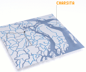 Places with similar names to Char Sita, Bangladesh ::
// Cherăşti (RO)
// Chiorăşti (RO)
// Cherusti (RU)
// Chāh Rāsteh (IR)
// Cherry City (US)
// Shirsadi (IN)
// Tiar Sodi (SN)
// Chārsadda (PK)
// Chârost (FR)
// Chérizet (FR)
Disclaimer :: Information on this page comes without warranty of any kind |
||
|
Where is Char Sita? Elevation and coordinates ::
Latitude (lat): 22°43'0"N Longitude (lon): 90°55'0"E
Elevation (approx.): 7m (map arrows pan, magnifying glasses zoom) |
||
|
Visiting Char Sita? Hotel/Accommodation ::
Book a hotel in Char Sita Travel Guide ::
Buy a travel guide for Bangladesh rental cars ::
car rental offers GPS waypoint ::
download a GPX waypoint (PoI) of Char Sita for your GPS receiver
|
||