|
search place name
|
||
Dakshin Bāsta (Barisāl, Bangladesh)Dakshin Bāsta is a town in the Barisāl region of Bangladesh. An overview map of the region around Dakshin Bāsta is displayed below.
regional and 3d topo map of Dakshin Bāsta, Bangladesh ::

Dakshin Bāsta airports ::
The nearest airport is DAC - Dhaka Zia Intl, located 33.5 km east of Dakshin Bāsta.
Other airports nearby include IRD - Ishurdi (107.9 km west), IXA - Agartala (117.9 km east), JSR - Jessore (125.5 km south west), RJH - Rajshahi Shah Mokhdum (159.1 km west), Nearby towns ::
Mārāpāra (0.0km north) //
Bārabāria (1.9km south) //
Hātkora (1.9km south) //
Krishnapura (1.9km south) //
Chāripāra (1.9km south) //
Rakshit Pāruhāla (1.9km south) //
Pāruhāla (1.9km south) //
Kāsātali (1.9km south) //
Mājhāil (1.7km west) //
Marundakhola (1.7km west) //
Mahishāloha (1.7km west) //
Karnapāra (1.7km west) //
Gaola (1.7km west) //
Bara Amarpur (1.7km east) //
Ābu Sāid (1.7km east) //
Dari Beliswar (1.7km east) //
Soldhan (1.7km east) //
Kāolipāra (1.9km north) //
Makdumpāra (1.9km north) //
Datta Nālāi (1.9km north) //
Jālsa (1.9km north) //
Kashtipur (1.9km north) //
Uttar Khalli (2.5km south west) //
Chhota Sāturia (2.5km south west) //
Dhānkora (2.5km south west) //
Banda Āngāria (2.5km south west) //
Chorkhola (2.5km south west) //
Salibhānga (2.5km south east) //
Kalyānpur (2.5km south east) //
[all distances 'as the bird flies' and approximate] 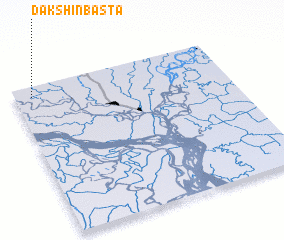 Places with similar names to Dakshin Bāsta, Bangladesh ::
// Dakshin Bāsta (BD)
// Dakshin Bāsta (BD)
Disclaimer :: Information on this page comes without warranty of any kind |
||
|
Where is Dakshin Bāsta? Elevation and coordinates ::
Latitude (lat): 23°56'0"N Longitude (lon): 90°5'0"E
Elevation (approx.): 12m (map arrows pan, magnifying glasses zoom) |
||
|
Visiting Dakshin Bāsta? Hotel/Accommodation ::
Book a hotel in Dakshin Bāsta Travel Guide ::
Buy a travel guide for Bangladesh rental cars ::
car rental offers GPS waypoint ::
download a GPX waypoint (PoI) of Dakshin Bāsta for your GPS receiver
|
||