|
search place name
|
||
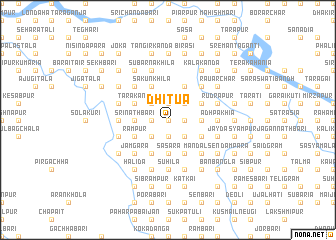
Dhitua (Barisāl, Bangladesh)Dhitua is a town in the Barisāl region of Bangladesh. An overview map of the region around Dhitua is displayed below.
regional and 3d topo map of Dhitua, Bangladesh ::
Dhitua airports ::
The nearest airport is DAC - Dhaka Zia Intl, located 104.6 km south of Dhitua.
Other airports nearby include IRD - Ishurdi (133.6 km south west), IXA - Agartala (144.9 km south east), RJH - Rajshahi Shah Mokhdum (162.8 km west), SPD - Saidpur (169.0 km north west), Nearby towns ::
Kuripāra (NaNkm north) //
Chāpuria (NaNkm north) //
Jainākānda (1.9km north) //
Pādurbāri (1.9km north) //
Banbāri (1.9km north) //
Kāthālsar (1.9km north) //
Rāmnāthbāri (1.9km north) //
Kesabpur (1.7km west) //
Ratibāri (1.7km west) //
Krishnapur (1.7km west) //
Dhānuka (1.7km west) //
Rāghabbāri (1.7km west) //
Raghunāthpur (1.7km west) //
Kismat Jayrāmpur (1.7km west) //
Santoshpur (1.7km west) //
Simla (1.9km south) //
Tegharia (1.7km east) //
Bejbāri (1.7km east) //
Ketānpur (1.7km east) //
Gojānga (1.7km east) //
Bāde Kāthāl (1.7km east) //
Rajendrabāri (1.7km east) //
Mulbāri (1.7km east) //
Rāghābbāri (1.7km east) //
Ghāturi (1.7km east) //
Rāmkrishnabāri (1.7km east) //
Narkona (2.5km north west) //
Jayrāmpur (2.5km north west) //
Bāje Mānkum (2.5km north east) //
[all distances 'as the bird flies' and approximate] 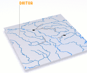 Places with similar names to Dhitua, Bangladesh ::
Disclaimer :: Information on this page comes without warranty of any kind |
||
|
Where is Dhitua? Elevation and coordinates ::
Latitude (lat): 24°46'0"N Longitude (lon): 90°11'0"E
Elevation (approx.): 19m (map arrows pan, magnifying glasses zoom) |
||
|
Visiting Dhitua? Hotel/Accommodation ::
Book a hotel in Dhitua Travel Guide ::
Buy a travel guide for Bangladesh rental cars ::
car rental offers GPS waypoint ::
download a GPX waypoint (PoI) of Dhitua for your GPS receiver
|
||