|
search place name
|
||
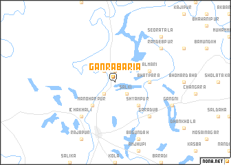
Gānrābāria (Barisāl, Bangladesh)Gānrābāria is a town in the Barisāl region of Bangladesh. An overview map of the region around Gānrābāria is displayed below.
regional and 3d topo map of Gānrābāria, Bangladesh ::
Gānrābāria airports ::
The nearest airport is IRD - Ishurdi, located 51.4 km north east of Gānrābāria.
Other airports nearby include RJH - Rajshahi Shah Mokhdum (65.2 km north), JSR - Jessore (89.4 km south east), CCU - Calcutta Netaji Subhash Chandra Bose Intl (134.3 km south), DAC - Dhaka Zia Intl (176.4 km east), Nearby towns ::
Kāthuli (1.9km north) //
Sālki (2.5km south east) //
Kāthuli (2.5km north west) //
Kulbāria (2.5km south west) //
Shyāmpur (5.0km south east) //
Manoharpur (5.0km south west) //
Bhātpāra (5.1km east) //
Mālmāri (5.4km east) //
Ichākhāli (7.5km south west) //
Gārādub (7.5km south east) //
Rāmdebpur (8.8km north east) //
Seorātala (10.0km north east) //
[all distances 'as the bird flies' and approximate] 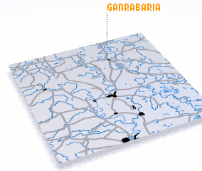 Places with similar names to Gānrābāria, Bangladesh ::
// Gunerbāri (BD)
Disclaimer :: Information on this page comes without warranty of any kind |
||
|
Where is Gānrābāria? Elevation and coordinates ::
Latitude (lat): 23°51'0"N Longitude (lon): 88°40'0"E
Elevation (approx.): 17m (map arrows pan, magnifying glasses zoom) |
||
|
Visiting Gānrābāria? Hotel/Accommodation ::
Book a hotel in Gānrābāria Travel Guide ::
Buy a travel guide for Bangladesh rental cars ::
car rental offers GPS waypoint ::
download a GPX waypoint (PoI) of Gānrābāria for your GPS receiver
|
||