|
search place name
|
||
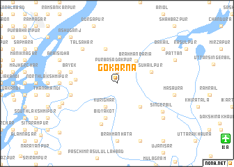
Gokarna (Barisāl, Bangladesh)Gokarna is a town in the Barisāl region of Bangladesh. An overview map of the region around Gokarna is displayed below.
regional and 3d topo map of Gokarna, Bangladesh ::
Gokarna airports ::
The nearest airport is IXA - Agartala, located 18.3 km south east of Gokarna.
Other airports nearby include DAC - Dhaka Zia Intl (71.1 km west), IXH - Kailashahar (101.2 km east), ZYL - Sylhet Osmani Osmany Intl (136.0 km north east), AJL - Aizwal Aizawl (176.8 km east), Nearby towns ::
Rājghar (1.9km north) //
Purba Sadakpur (2.8km north) //
Kurīghar (4.1km south west) //
Brāhmanbāria (4.6km north east) //
Rāmrāil (5.0km south east) //
Suhāilpur (5.4km east) //
Āshtogrām (5.8km north) //
Bidyākot (5.8km south) //
Paschim Sadakpur (6.1km west) //
Shibpur (6.9km south) //
Sarippur (6.8km west) //
Bāyek (7.0km west) //
Jālsuka (7.0km west) //
Tālsahar (7.5km north west) //
Singerbil (8.1km south east) //
Bākail (8.8km north east) //
Pāghāchang (8.8km south east) //
Paschim Nabinagar (8.7km west) //
Āshuganj (10.0km north west) //
[all distances 'as the bird flies' and approximate] 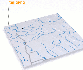 Places with similar names to Gokarna, Bangladesh ::
Disclaimer :: Information on this page comes without warranty of any kind |
||
|
Where is Gokarna? Elevation and coordinates ::
Latitude (lat): 23°58'0"N Longitude (lon): 91°5'0"E
Elevation (approx.): 9m (map arrows pan, magnifying glasses zoom) |
||
|
Visiting Gokarna? Hotel/Accommodation ::
Book a hotel in Gokarna Travel Guide ::
Buy a travel guide for Bangladesh rental cars ::
car rental offers GPS waypoint ::
download a GPX waypoint (PoI) of Gokarna for your GPS receiver
|
||