|
search place name
|
||
Isānpur (Barisāl, Bangladesh)Isānpur is a town in the Barisāl region of Bangladesh. An overview map of the region around Isānpur is displayed below.
regional and 3d topo map of Isānpur, Bangladesh ::

Isānpur airports ::
The nearest airport is RJH - Rajshahi Shah Mokhdum, located 29.2 km west of Isānpur.
Other airports nearby include IRD - Ishurdi (39.7 km south), SPD - Saidpur (141.3 km north), JSR - Jessore (146.4 km south), DAC - Dhaka Zia Intl (167.9 km south east), Nearby towns ::
Nāndipāra (0.0km north) //
Bīl Rāmsa (0.0km north) //
Singa (1.9km south) //
Kānsabāria (1.7km east) //
Samash Khalsi (1.7km east) //
Ārāzi Leppāra (1.9km north) //
Āmghoshpāra (1.9km north) //
Leppāra (1.9km north) //
Chhātārpāra (1.9km north) //
Bidirpur (1.9km north) //
Kānmāria (1.7km west) //
Sil Māria (1.7km west) //
Saktipāra (1.7km west) //
Udanpāra (1.7km west) //
Pachāmāria (1.7km west) //
Chak Kesabpur (2.5km south east) //
Krishnapur Digha (2.5km south east) //
Jagapāra (2.5km south west) //
Jasapāra (2.5km south west) //
Amritapāra (2.5km north east) //
Jagadispur (2.5km north east) //
Sādhanpur (2.5km north west) //
Udanpur (2.5km north west) //
Bāgpāra (2.5km north west) //
Isabpur (2.5km north west) //
Pampāra (2.5km north west) //
Sukpāra (2.5km north west) //
Sānkhāripāra (3.4km east) //
Bharatmāria (3.7km south) //
[all distances 'as the bird flies' and approximate] 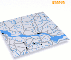 Places with similar names to Isānpur, Bangladesh ::
Disclaimer :: Information on this page comes without warranty of any kind |
||
|
Where is Isānpur? Elevation and coordinates ::
Latitude (lat): 24°29'0"N Longitude (lon): 88°54'0"E
Elevation (approx.): 17m (map arrows pan, magnifying glasses zoom) |
||
|
Visiting Isānpur? Hotel/Accommodation ::
Book a hotel in Isānpur Travel Guide ::
Buy a travel guide for Bangladesh rental cars ::
car rental offers GPS waypoint ::
download a GPX waypoint (PoI) of Isānpur for your GPS receiver
|
||