|
search place name
|
||
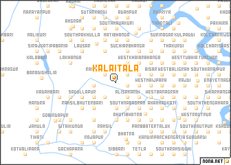
Kālaitala (Dhaka, Bangladesh)Kālaitala is a town in the Dhaka region of Bangladesh. An overview map of the region around Kālaitala is displayed below.
regional and 3d topo map of Kālaitala, Bangladesh ::
Kālaitala airports ::
The nearest airport is DAC - Dhaka Zia Intl, located 88.5 km north of Kālaitala.
Other airports nearby include JSR - Jessore (98.3 km west), IXA - Agartala (145.0 km north east), IRD - Ishurdi (160.4 km north west), CCU - Calcutta Netaji Subhash Chandra Bose Intl (177.8 km west), Nearby towns ::
North Sasikar (1.9km east) //
Rāmsil Nayārbāri (2.1km north west) //
Rāmsil Lakhanda (2.1km north west) //
Jinbāri (2.3km north east) //
Rāmsil Pirārbāri (2.8km south west) //
Alisakāndi (3.0km south east) //
North Nabagrām (3.0km south east) //
Basantamandal (3.0km south east) //
Betgrām (3.0km south east) //
South Sasikar (3.0km south east) //
Rāmsil Tulsibāri (3.3km west) //
West Kamalāpur (3.7km north east) //
North Khilgrām (3.6km east) //
Āruākāndi (3.6km east) //
Dhāmusa (3.6km east) //
West Darsana (3.8km east) //
Domra (3.8km east) //
Rāmsil Musuria (4.2km south) //
Rāmsil Palotāna (4.0km south west) //
Diākāndi (4.3km south east) //
East Nabagrām (4.3km south east) //
Dāsār (4.3km south east) //
South Khilgrām (4.3km south east) //
Betbāri (4.3km south east) //
South Nabagrām (4.6km south east) //
Kadampatti (4.6km south east) //
Laskarpur (4.6km south east) //
South Khāgchhāra (4.8km north east) //
Khāmārbāri (4.8km north east) //
[all distances 'as the bird flies' and approximate] 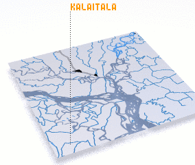 Places with similar names to Kālaitala, Bangladesh ::
Disclaimer :: Information on this page comes without warranty of any kind |
||
|
Where is Kālaitala? Elevation and coordinates ::
Latitude (lat): 23°5'17"N Longitude (lon): 90°6'55"E
Elevation (approx.): 4m (map arrows pan, magnifying glasses zoom) |
||
|
Visiting Kālaitala? Hotel/Accommodation ::
Book a hotel in Kālaitala Travel Guide ::
Buy a travel guide for Bangladesh rental cars ::
car rental offers GPS waypoint ::
download a GPX waypoint (PoI) of Kālaitala for your GPS receiver
|
||