|
search place name
|
||
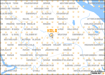
Kola (Barisāl, Bangladesh)Kola is a town in the Barisāl region of Bangladesh. An overview map of the region around Kola is displayed below.
regional and 3d topo map of Kola, Bangladesh ::
Kola airports ::
The nearest airport is JSR - Jessore, located 71.8 km south west of Kola.
Other airports nearby include DAC - Dhaka Zia Intl (78.1 km east), IRD - Ishurdi (85.2 km north west), RJH - Rajshahi Shah Mokhdum (139.1 km north west), IXA - Agartala (162.9 km east), Nearby towns ::
Gābla (0.0km north) //
Muchidaha (1.9km south) //
Udaypur (1.7km east) //
Bīl Putia (1.7km west) //
Bejkola (1.7km west) //
Erenda (1.9km north) //
Sāstāpur (2.5km south east) //
Dharmmasi (2.5km south east) //
Ratandia (2.5km south west) //
Mahārājpur (2.5km north east) //
Bara Nurpur (2.5km north east) //
Bājitpur (3.4km east) //
Hātimohan (3.4km west) //
Pār Darpanārāyanpur (3.7km north) //
Gopālpur (3.7km north) //
Bāghia (3.7km north) //
Kaijuri (4.1km south east) //
Bāniāri (4.1km south east) //
Rājāpur (3.9km south east) //
Khālisa Sonāpur (3.9km south east) //
Sāngura (4.1km south west) //
Beleswar Rāmkāntapur (4.1km south west) //
Sonda (3.9km south west) //
Lakshmandia (3.9km south west) //
Gupta Lakshmandia (3.9km south west) //
Khāmār Māgura (3.9km south west) //
Kumār Gāra (3.9km south west) //
Gauripur (4.1km north east) //
Rasora (4.1km north west) //
[all distances 'as the bird flies' and approximate] 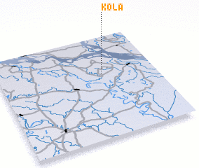 Places with similar names to Kola, Bangladesh ::
Disclaimer :: Information on this page comes without warranty of any kind |
||
|
Where is Kola? Elevation and coordinates ::
Latitude (lat): 23°38'0"N Longitude (lon): 89°40'0"E
Elevation (approx.): 13m (map arrows pan, magnifying glasses zoom) |
||
|
Visiting Kola? Hotel/Accommodation ::
Book a hotel in Kola Travel Guide ::
Buy a travel guide for Bangladesh rental cars ::
car rental offers GPS waypoint ::
download a GPX waypoint (PoI) of Kola for your GPS receiver
|
||