|
search place name
|
||
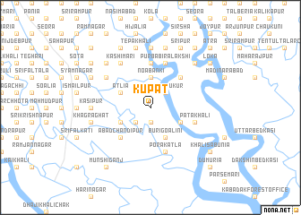
Kupat (Barisāl, Bangladesh)Kupat is a town in the Barisāl region of Bangladesh. An overview map of the region around Kupat is displayed below.
regional and 3d topo map of Kupat, Bangladesh ::
Kupat airports ::
The nearest airport is CCU - Calcutta Netaji Subhash Chandra Bose Intl, located 86.1 km north west of Kupat.
Other airports nearby include JSR - Jessore (96.1 km north), IRD - Ishurdi (203.9 km north), DAC - Dhaka Zia Intl (208.9 km north east), Nearby towns ::
Tālbāria (1.9km south) //
Padmāpukur (2.5km north east) //
Gumāntali (2.5km south west) //
Noabanki (3.7km north) //
Ātlia (3.9km north west) //
Jhāpa (3.9km south east) //
Jābākhāli (3.9km south west) //
Buri Goālini (4.1km south east) //
Garh Kumārpur (5.0km north east) //
Ābād Chandīpur (5.0km south west) //
Paschim Birālākshi (5.6km north) //
Pātākhāli (5.5km east) //
Porākātla (5.8km south) //
Purba Birālākshi (5.8km north) //
Kānchihārānia (6.3km north west) //
Kāshīmāri (6.5km north west) //
Kalyānpur (7.4km north) //
Kāsipur (6.9km west) //
Mādia (7.6km north) //
Pratāpnagar (7.6km north) //
Tepākhāli (7.6km north) //
Gutlikāti (7.1km west) //
Khāgrāghāt (7.1km west) //
Chākla Telikhāli (7.6km north east) //
Gobindapur (7.6km north west) //
Kurikāhania (8.2km north east) //
Goālbāti (8.2km north east) //
Srīpur (8.2km north east) //
Ghola (8.2km north west) //
[all distances 'as the bird flies' and approximate] 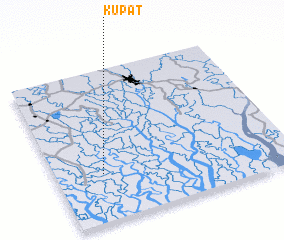 Places with similar names to Kupat, Bangladesh ::
Disclaimer :: Information on this page comes without warranty of any kind |
||
|
Where is Kupat? Elevation and coordinates ::
Latitude (lat): 22°19'0"N Longitude (lon): 89°12'0"E
Elevation (approx.): 2m (map arrows pan, magnifying glasses zoom) |
||
|
Visiting Kupat? Hotel/Accommodation ::
Book a hotel in Kupat Travel Guide ::
Buy a travel guide for Bangladesh rental cars ::
car rental offers GPS waypoint ::
download a GPX waypoint (PoI) of Kupat for your GPS receiver
|
||