|
search place name
|
||
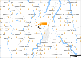
Māljhār (Barisāl, Bangladesh)Māljhār is a town in the Barisāl region of Bangladesh. An overview map of the region around Māljhār is displayed below.
regional and 3d topo map of Māljhār, Bangladesh ::
Māljhār airports ::
The nearest airport is SPD - Saidpur, located 31.7 km north east of Māljhār.
Other airports nearby include COH - Cooch-behar Cooch Behar (113.7 km north east), IXB - Baghdogra Bagdogra (117.8 km north), RJH - Rajshahi Shah Mokhdum (134.3 km south), BIR - Biratnagar (163.7 km north west), Nearby towns ::
Farakkabād (1.9km north) //
Dinājpur (2.5km south east) //
Teghra Nārāyanpur (2.5km south west) //
Bājnāhār (2.5km north west) //
Barail (3.8km north east) //
Bhātpāra (5.0km west) //
Gofrāil (5.6km north) //
Pipalya (5.3km west) //
Bishnupur (6.2km south west) //
Mahārājpur (6.2km north east) //
Karnāi (6.5km north east) //
Bijora (6.5km south west) //
Kāsidānga (6.5km north west) //
Nulāibāri (6.7km east) //
Laskarpukur (7.4km north) //
Māsimpur (7.6km south) //
Khayerban (7.6km south) //
Jagatpur (7.5km south west) //
Mahābalipur (7.5km north east) //
Dārail (7.6km north west) //
Nasipur (8.9km north east) //
Parajpur (10.0km south east) //
[all distances 'as the bird flies' and approximate] 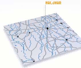 Places with similar names to Māljhār, Bangladesh :: Disclaimer :: Information on this page comes without warranty of any kind |
||
|
Where is Māljhār? Elevation and coordinates ::
Latitude (lat): 25°39'0"N Longitude (lon): 88°37'0"E
Elevation (approx.): 38m (map arrows pan, magnifying glasses zoom) |
||
|
Visiting Māljhār? Hotel/Accommodation ::
Book a hotel in Māljhār Travel Guide ::
Buy a travel guide for Bangladesh rental cars ::
car rental offers GPS waypoint ::
download a GPX waypoint (PoI) of Māljhār for your GPS receiver
|
||