|
search place name
|
||
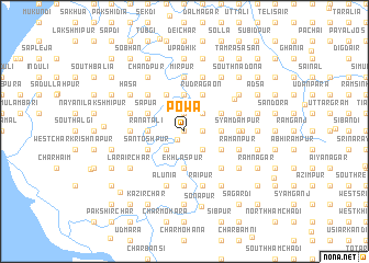
Powa (Barisāl, Bangladesh)Powa is a town in the Barisāl region of Bangladesh. An overview map of the region around Powa is displayed below.
regional and 3d topo map of Powa, Bangladesh ::
Powa airports ::
The nearest airport is DAC - Dhaka Zia Intl, located 89.8 km north west of Powa.
Other airports nearby include IXA - Agartala (100.5 km north east), CGP - Chittagong Shah Amanat Intl (144.2 km south east), JSR - Jessore (163.0 km west), IXH - Kailashahar (185.3 km north east), Nearby towns ::
Char Barāli (0.0km north) //
Char Maghua (1.1km south west) //
Char Hogla (1.9km north) //
Char Pāra (1.9km north) //
Bāra Pāika (1.7km east) //
Gridha Kālindia (1.7km east) //
Barāli (2.5km north east) //
Gābdergaon (2.5km north east) //
Harni (2.5km south west) //
Sāhebganj (2.5km south east) //
Bhāter Hrad (3.4km east) //
Rustampur (3.4km east) //
Putia (3.4km west) //
Ranātali (3.4km west) //
Badarpur (3.4km east) //
Farīdganj (3.7km north) //
Keorāchar (3.7km north) //
Ekhlāspur (3.7km south) //
Sāpua (3.9km north west) //
Badiyazzamāpur (3.9km north east) //
Char Rāmpur (3.9km north west) //
Kutubpur (3.9km north east) //
Lām Char (3.9km north west) //
Char Rāghab Rāy (3.9km north west) //
Kāonia (3.9km south east) //
Char Māndāri (3.9km south east) //
Māndārkhil (3.9km south east) //
East Lārua (3.9km south west) //
Nalgora (3.9km south east) //
[all distances 'as the bird flies' and approximate]  Places with similar names to Powa, Bangladesh ::
Disclaimer :: Information on this page comes without warranty of any kind |
||
|
Where is Powa? Elevation and coordinates ::
Latitude (lat): 23°6'0"N Longitude (lon): 90°45'0"E
Elevation (approx.): 11m (map arrows pan, magnifying glasses zoom) |
||
|
Visiting Powa? Hotel/Accommodation ::
Book a hotel in Powa Travel Guide ::
Buy a travel guide for Bangladesh rental cars ::
car rental offers GPS waypoint ::
download a GPX waypoint (PoI) of Powa for your GPS receiver
|
||