|
search place name
|
||
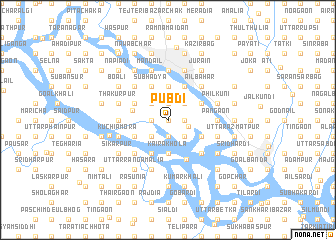
Pubdi (Barisāl, Bangladesh)Pubdi is a town in the Barisāl region of Bangladesh. An overview map of the region around Pubdi is displayed below.
regional and 3d topo map of Pubdi, Bangladesh ::
Pubdi airports ::
The nearest airport is DAC - Dhaka Zia Intl, located 21.4 km north of Pubdi.
Other airports nearby include IXA - Agartala (89.6 km east), JSR - Jessore (136.8 km west), IRD - Ishurdi (148.4 km west), IXH - Kailashahar (179.1 km north east), Nearby towns ::
Paschimdi (0.0km north) //
Ārākul (1.7km east) //
Char Pānia (1.9km south) //
Tegharia (1.9km north) //
Char Khāskāndi (1.7km west) //
Bākta (2.2km east) //
Sāorāil (2.5km south east) //
Majid Beāra (2.5km north east) //
Beāra (2.5km north east) //
Chānder Char (2.5km south west) //
Noādda (2.5km north west) //
Kairākhola (3.7km south) //
Chandībārdi (3.7km south) //
Bāluchar (3.7km south) //
Mirerbāg (3.7km north) //
Chunkutiya (3.7km north) //
Bāghair (3.8km west) //
Ghonākonda (3.9km south east) //
Konda (3.9km south east) //
Jānjira (3.9km south east) //
Ikaria (4.1km north east) //
Doleswar (3.9km north east) //
Āinta (3.9km north east) //
Rāmkrishnadi (4.1km south west) //
Subhadya (4.1km north west) //
Kumlir Chak (4.1km north west) //
Char Galgalia (3.9km south west) //
Pothāl (3.9km north west) //
Bāluchar (4.8km south east) //
[all distances 'as the bird flies' and approximate] 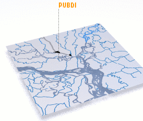 Places with similar names to Pubdi, Bangladesh ::
Disclaimer :: Information on this page comes without warranty of any kind |
||
|
Where is Pubdi? Elevation and coordinates ::
Latitude (lat): 23°39'0"N Longitude (lon): 90°24'0"E
Elevation (approx.): 5m (map arrows pan, magnifying glasses zoom) |
||
|
Visiting Pubdi? Hotel/Accommodation ::
Book a hotel in Pubdi Travel Guide ::
Buy a travel guide for Bangladesh rental cars ::
car rental offers GPS waypoint ::
download a GPX waypoint (PoI) of Pubdi for your GPS receiver
|
||