|
search place name
|
||
Safipur (Barisāl, Bangladesh)Safipur is a town in the Barisāl region of Bangladesh. An overview map of the region around Safipur is displayed below.
regional and 3d topo map of Safipur, Bangladesh ::

Safipur airports ::
The nearest airport is DAC - Dhaka Zia Intl, located 24.1 km south east of Safipur.
Other airports nearby include IXA - Agartala (98.8 km east), IRD - Ishurdi (126.2 km west), JSR - Jessore (148.2 km south west), RJH - Rajshahi Shah Mokhdum (175.1 km west), Nearby towns ::
Chāndara (1.7km west) //
Bāraipāra (1.7km west) //
Bara Kālāmpur (2.5km north west) //
Gazārchāp (3.7km south) //
Mājhukhān (3.7km north) //
Bāgia (3.4km east) //
Konāpāra (4.1km south west) //
Uttar Pānisāil (4.1km south west) //
Mādhabpur (4.1km south east) //
Lohakair (4.1km south east) //
Kabirpur (5.0km south west) //
Shib Rāmpur (5.0km south west) //
Sākāsār (5.0km north east) //
Bara Bhabānīpur (5.6km south) //
Sārāba (5.6km south) //
Dakshin Baraibāri (5.8km south) //
Dakshin Pānisāil (5.8km south) //
Bhikanpur (5.8km south) //
Bānstali (5.8km north) //
Gobindabāri (5.8km south) //
Bhānnāra (5.4km east) //
Bārenda (6.4km south east) //
Domna (6.5km south west) //
Chhota Kāundia (6.5km south west) //
Paschim Pānisāil (6.5km south west) //
Domnāg (6.5km south west) //
Tenguri (6.5km south west) //
Bāidgaon (6.3km south west) //
Mīrpur (6.3km south east) //
[all distances 'as the bird flies' and approximate] 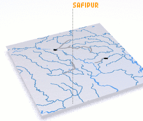 Places with similar names to Safipur, Bangladesh ::
Disclaimer :: Information on this page comes without warranty of any kind |
||
|
Where is Safipur? Elevation and coordinates ::
Latitude (lat): 24°2'0"N Longitude (lon): 90°17'0"E
Elevation (approx.): 17m (map arrows pan, magnifying glasses zoom) |
||
|
Visiting Safipur? Hotel/Accommodation ::
Book a hotel in Safipur Travel Guide ::
Buy a travel guide for Bangladesh rental cars ::
car rental offers GPS waypoint ::
download a GPX waypoint (PoI) of Safipur for your GPS receiver
|
||