|
search place name
|
||
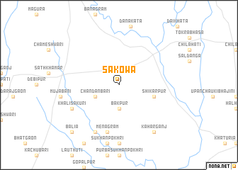
Sākowa (Barisāl, Bangladesh)Sākowa is a town in the Barisāl region of Bangladesh. An overview map of the region around Sākowa is displayed below.
regional and 3d topo map of Sākowa, Bangladesh ::
Sākowa airports ::
The nearest airport is SPD - Saidpur, located 54.5 km south east of Sākowa.
Other airports nearby include IXB - Baghdogra Bagdogra (63.0 km north west), COH - Cooch-behar Cooch Behar (84.9 km east), BIR - Biratnagar (140.6 km west), PBH - Paro (156.4 km north east), Nearby towns ::
Bākpur (3.7km south) //
Chandanbāri (3.8km south west) //
Shikārpur (5.3km east) //
Menāgrām (7.6km south) //
Khālisākuri (7.6km south west) //
Kismat Sukhanpokhri (8.1km south west) //
Kaharganj (8.9km south east) //
Balia (10.0km south west) //
[all distances 'as the bird flies' and approximate] 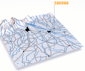 Places with similar names to Sākowa, Bangladesh ::
Disclaimer :: Information on this page comes without warranty of any kind |
||
|
Where is Sākowa? Elevation and coordinates ::
Latitude (lat): 26°11'0"N Longitude (lon): 88°38'0"E
Elevation (approx.): 62m (map arrows pan, magnifying glasses zoom) |
||
|
Visiting Sākowa? Hotel/Accommodation ::
Book a hotel in Sākowa Travel Guide ::
Buy a travel guide for Bangladesh rental cars ::
car rental offers GPS waypoint ::
download a GPX waypoint (PoI) of Sākowa for your GPS receiver
|
||