|
search place name
|
||
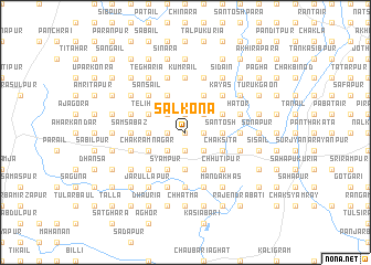
Sālkona (Barisāl, Bangladesh)Sālkona is a town in the Barisāl region of Bangladesh. An overview map of the region around Sālkona is displayed below.
regional and 3d topo map of Sālkona, Bangladesh ::
Sālkona airports ::
The nearest airport is RJH - Rajshahi Shah Mokhdum, located 42.1 km south of Sālkona.
Other airports nearby include IRD - Ishurdi (86.5 km south east), SPD - Saidpur (108.9 km north), COH - Cooch-behar Cooch Behar (189.0 km north east), JSR - Jessore (189.6 km south), Nearby towns ::
Rudrapur (0.0km north) //
Bhābicha (1.9km north) //
Srīmantapur (1.7km west) //
Mānikpātān (1.9km south) //
Sāhāpur (1.9km south) //
Kumārjol (1.7km east) //
Dima (1.7km east) //
Murihāri (2.5km north west) //
Karkaria (2.5km north west) //
Bhabānīpur (2.5km north east) //
Rānsa (2.5km north east) //
Rāmkura (2.5km south west) //
Haripur (2.5km south east) //
Gholkuri (2.5km south east) //
Mādāripur (3.4km west) //
Dharampur (3.4km west) //
Santosh (3.4km east) //
Bhātkundu (3.4km east) //
Rājāpur (3.7km south) //
Telihāri (3.8km north west) //
Bālāhair (3.8km north west) //
Niāmatpur (3.8km north west) //
Kānail (3.8km north west) //
Bād Mālanchi (3.8km north east) //
Rāotāra (3.8km north east) //
Chak Rāmnagar (3.8km south west) //
Pāchra (4.1km north west) //
Bijali (4.1km north west) //
Chak Pāchra (4.1km north west) //
[all distances 'as the bird flies' and approximate] 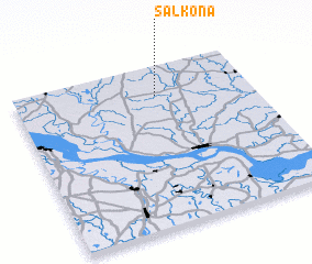 Places with similar names to Sālkona, Bangladesh ::
Disclaimer :: Information on this page comes without warranty of any kind |
||
|
Where is Sālkona? Elevation and coordinates ::
Latitude (lat): 24°49'0"N Longitude (lon): 88°36'0"E
Elevation (approx.): 19m (map arrows pan, magnifying glasses zoom) |
||
|
Visiting Sālkona? Hotel/Accommodation ::
Book a hotel in Sālkona Travel Guide ::
Buy a travel guide for Bangladesh rental cars ::
car rental offers GPS waypoint ::
download a GPX waypoint (PoI) of Sālkona for your GPS receiver
|
||