|
search place name
|
||
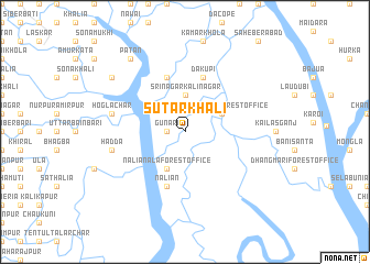
Sutārkhāli (Barisāl, Bangladesh)Sutārkhāli is a town in the Barisāl region of Bangladesh. An overview map of the region around Sutārkhāli is displayed below.
regional and 3d topo map of Sutārkhāli, Bangladesh ::
Sutārkhāli airports ::
The nearest airport is JSR - Jessore, located 83.7 km north of Sutārkhāli.
Other airports nearby include CCU - Calcutta Netaji Subhash Chandra Bose Intl (106.6 km west), DAC - Dhaka Zia Intl (178.3 km north east), IRD - Ishurdi (189.7 km north), RJH - Rajshahi Shah Mokhdum (233.2 km north), Nearby towns ::
Gunari (1.7km west) //
Srīnagar Kālīnagar (3.7km north) //
Dhopādihi (3.9km north east) //
Sutārkhāli Forest Office (3.9km north east) //
Naliānāla Forest Office (4.1km south west) //
Kalābagi Sutārkhāli (4.1km south west) //
Dākupi (5.8km north) //
Chak Kāminibāsi (5.8km north) //
Naliān (5.8km south) //
Hadda (7.1km west) //
Hogla Char (7.1km west) //
Gāruikhāli (7.1km west) //
Bethbunia (8.8km north west) //
Chārbānda (8.8km north west) //
Patan (9.0km north west) //
Pār Bayār Jhāpa (9.0km north west) //
[all distances 'as the bird flies' and approximate]  Places with similar names to Sutārkhāli, Bangladesh ::
// Setrakhali (BD)
// Cidar Khel (PK)
Disclaimer :: Information on this page comes without warranty of any kind |
||
|
Where is Sutārkhāli? Elevation and coordinates ::
Latitude (lat): 22°29'0"N Longitude (lon): 89°28'0"E
Elevation (approx.): 4m (map arrows pan, magnifying glasses zoom) |
||
|
Visiting Sutārkhāli? Hotel/Accommodation ::
Book a hotel in Sutārkhāli Travel Guide ::
Buy a travel guide for Bangladesh rental cars ::
car rental offers GPS waypoint ::
download a GPX waypoint (PoI) of Sutārkhāli for your GPS receiver
|
||