|
search place name
|
||
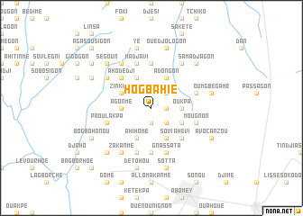
Hogbahie (Benin)Hogbahie is a town in Benin. An overview map of the region around Hogbahie is displayed below.
regional and 3d topo map of Hogbahie, Benin ::
Hogbahie airports ::
The nearest airport is COO - Cotonou Cadjehoun, located 113.1 km south east of Hogbahie.
Other airports nearby include LFW - Lome Gnassingbe Eyadema Intl (145.6 km south west), LOS - Lagos Murtala Muhammed (170.5 km south east), Nearby towns ::
Dovokpa (1.9km south) //
Ouko (1.8km east) //
Akouessa (2.6km south east) //
Agbéhé (2.6km south east) //
Honvi (2.6km north east) //
Bachogon (2.6km north east) //
Agonmé (3.7km west) //
Oukpa (3.7km east) //
Dohouimè (4.1km south east) //
Bohé (4.1km south east) //
Sovi (4.1km south east) //
Ahihomé (4.1km south west) //
Houo (4.1km south west) //
Zinkamè (4.1km north west) //
Asagon (4.1km north west) //
Ouéli (4.1km north west) //
Adongon (4.1km north east) //
Onhoun (5.2km south east) //
Ahévi (5.2km south east) //
Djébatin (5.2km north west) //
Ahodedji (5.2km north west) //
Agblomé (5.6km north) //
Houndjokoué (5.6km south) //
Akodéhao (5.6km north) //
Assankanmé (5.8km west) //
Paoulakpa (5.8km west) //
Mougnon (5.8km east) //
Kodji (5.9km south) //
Djidja (5.9km north) //
[all distances 'as the bird flies' and approximate] 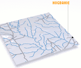 Places with similar names to Hogbahie, Benin :: Disclaimer :: Information on this page comes without warranty of any kind |
||
|
Where is Hogbahie? Elevation and coordinates ::
Latitude (lat): 7°17'0"N Longitude (lon): 1°57'0"E
Elevation (approx.): 155m (map arrows pan, magnifying glasses zoom) |
||
|
Visiting Hogbahie? Hotel/Accommodation ::
Book a hotel in Hogbahie Travel Guide ::
Buy a travel guide for Benin rental cars ::
car rental offers GPS waypoint ::
download a GPX waypoint (PoI) of Hogbahie for your GPS receiver
|
||