|
search place name
|
||
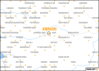
Kankini (Benin)Kankini is a town in Benin. An overview map of the region around Kankini is displayed below.
regional and 3d topo map of Kankini, Benin ::
Kankini airports ::
The nearest airport is LRL - Niatougou Niamtougou International, located 105.2 km south of Kankini.
Other airports nearby include TML - Tamale (244.2 km south west), Nearby towns ::
Sékanon (0.0km north) //
Daboka (1.8km west) //
Séri (1.8km east) //
Lapopolron (3.6km west) //
Damon (3.7km south) //
Kaninaranzéka (3.6km east) //
Matéri (4.1km south east) //
Titonzi-Kaouta (5.9km south) //
Kotadi (5.9km south) //
Youndisséti (5.8km east) //
Santiahon (6.6km north east) //
Téfandou (6.6km north west) //
Koumpehoum (6.6km north east) //
Tiahounkossi (7.5km west) //
Sakonou (7.6km north) //
Koutiéga (7.8km south west) //
Tiankouéhoum (7.8km north west) //
Konkohoum (7.8km north west) //
Dololi (8.2km south west) //
Pingou (8.2km south east) //
Kouri (9.2km north west) //
Sanbuioum (9.2km north east) //
Yékahou (9.2km south west) //
Outouoli (9.2km north east) //
Kondelli (10.4km north east) //
[all distances 'as the bird flies' and approximate] 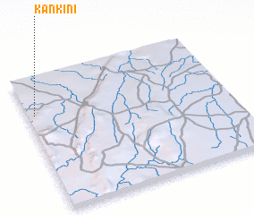 Places with similar names to Kankini, Benin ::
Disclaimer :: Information on this page comes without warranty of any kind |
||
|
Where is Kankini? Elevation and coordinates ::
Latitude (lat): 10°43'0"N Longitude (lon): 1°2'0"E
Elevation (approx.): 180m (map arrows pan, magnifying glasses zoom) |
||
|
Visiting Kankini? Hotel/Accommodation ::
Book a hotel in Kankini Travel Guide ::
Buy a travel guide for Benin rental cars ::
car rental offers GPS waypoint ::
download a GPX waypoint (PoI) of Kankini for your GPS receiver
|
||