|
search place name
|
||
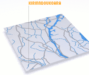
Kirinndou-Koara (Benin)Kirinndou-Koara is a town in Benin. An overview map of the region around Kirinndou-Koara is displayed below.
regional and 3d topo map of Kirinndou-Koara, Benin ::

Kirinndou-Koara airports ::
The nearest airport is NIM - Niamey Diori Hamani, located 180.4 km north west of Kirinndou-Koara.
Nearby towns ::
 Places with similar names to Kirinndou-Koara, Benin ::
// Grandcour (CH)
// Graña de Guiar (ES)
// Grand Ecore (US)
// Granite Quarry (US)
// Grand Dakar (SN)
// Grand Cairo (JM)
// Grand Décor (HT)
// Grandécor (HT)
// K'eriant'kari (GE)
// Grand-Coeur (FR)
Disclaimer :: Information on this page comes without warranty of any kind |
||
|
Where is Kirinndou-Koara? Elevation and coordinates ::
Latitude (lat): 12°6'0"N Longitude (lon): 3°4'0"E
Elevation (approx.): 203m (map arrows pan, magnifying glasses zoom) |
||
|
Visiting Kirinndou-Koara? Hotel/Accommodation ::
Book a hotel in Kirinndou-Koara Travel Guide ::
Buy a travel guide for Benin rental cars ::
car rental offers GPS waypoint ::
download a GPX waypoint (PoI) of Kirinndou-Koara for your GPS receiver
|
||