|
search place name
|
||
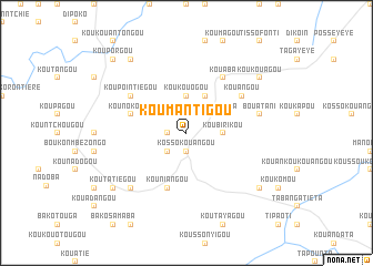
Koumantigou (Benin)Koumantigou is a town in Benin. An overview map of the region around Koumantigou is displayed below.
regional and 3d topo map of Koumantigou, Benin ::
Koumantigou airports ::
The nearest airport is LRL - Niatougou Niamtougou International, located 49.3 km south of Koumantigou.
Nearby towns ::
Kossokouangou (1.9km south) //
Takouanta (1.8km west) //
Koutamongou (2.6km south west) //
Koubirikou (3.6km east) //
Koukouogou (3.7km north) //
Tiapéta (4.1km north east) //
Koukouan (4.1km north east) //
Kouniangou (5.9km south) //
Kounokogou (5.8km west) //
Kouangou (6.6km north east) //
Koupointiégou (6.6km north west) //
Kouaba (6.6km north east) //
Bouatani (7.5km east) //
Koutagou (7.8km south west) //
Koutatiégou (9.2km south west) //
Kouissigou (9.2km south east) //
Koukouagou (9.2km north east) //
Kounaniengou (9.2km north west) //
Kouporgou (10.4km north west) //
[all distances 'as the bird flies' and approximate] 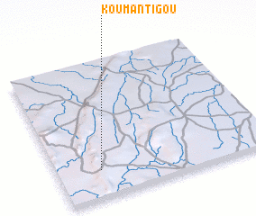 Places with similar names to Koumantigou, Benin ::
// Camandag (PH)
// Camandag (PH)
// Camantigue (PH)
// Comandag (PH)
// Gomentoc (PH)
// Kambantug (PH)
// Kamandak (RU)
// Kammbondogué (BF)
// Kamandougou (GN)
// Kamandougou (GN)
Disclaimer :: Information on this page comes without warranty of any kind |
||
|
Where is Koumantigou? Elevation and coordinates ::
Latitude (lat): 10°12'0"N Longitude (lon): 1°12'0"E
Elevation (approx.): 511m (map arrows pan, magnifying glasses zoom) |
||
|
Visiting Koumantigou? Hotel/Accommodation ::
Book a hotel in Koumantigou Travel Guide ::
Buy a travel guide for Benin rental cars ::
car rental offers GPS waypoint ::
download a GPX waypoint (PoI) of Koumantigou for your GPS receiver
|
||