|
search place name
|
||
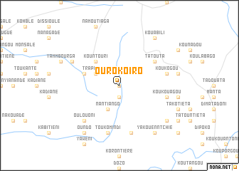
Ourokoiro (Benin)Ourokoiro is a town in Benin. An overview map of the region around Ourokoiro is displayed below.
regional and 3d topo map of Ourokoiro, Benin ::
Ourokoiro airports ::
The nearest airport is LRL - Niatougou Niamtougou International, located 67.3 km south of Ourokoiro.
Other airports nearby include TML - Tamale (221.4 km south west), Nearby towns ::
Ekaniklé (0.0km north) //
Kouyadaké (1.9km south) //
Oudouo (1.9km south) //
Trapiengou (4.1km north west) //
Nantiango (4.1km south west) //
Kountouri (5.2km north west) //
Dontou (5.2km north west) //
Payaké (5.8km west) //
Tatouta (6.6km north east) //
Toukomindi (7.6km south) //
Koukogou (7.5km east) //
Komindi (7.6km south) //
Koukouagou (7.5km east) //
Oulouoni (7.8km south west) //
Kountonri (8.2km north west) //
Kouabili (9.2km north east) //
Oundo (9.2km south west) //
Yakouenntchié (9.2km south east) //
Koumankenntiégou (9.2km south east) //
[all distances 'as the bird flies' and approximate] 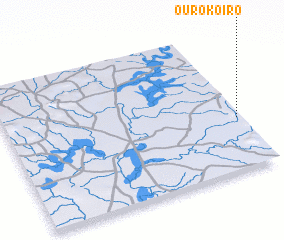 Places with similar names to Ourokoiro, Benin ::
// Orçário (PT)
// Ourougoura (BJ)
// Ourougouré (BJ)
// Orgaré (BF)
// Ouarkéré (SN)
// Ouer Kerra (SN)
// Ourakaré (GN)
// Ourokoro (GN)
// Ouroukoro (GN)
// Ouroukoro (GN)
Disclaimer :: Information on this page comes without warranty of any kind |
||
|
Where is Ourokoiro? Elevation and coordinates ::
Latitude (lat): 10°22'0"N Longitude (lon): 0°59'0"W
Elevation (approx.): 221m (map arrows pan, magnifying glasses zoom) |
||
|
Visiting Ourokoiro? Hotel/Accommodation ::
Book a hotel in Ourokoiro Travel Guide ::
Buy a travel guide for Benin rental cars ::
car rental offers GPS waypoint ::
download a GPX waypoint (PoI) of Ourokoiro for your GPS receiver
|
||