|
search place name
|
||
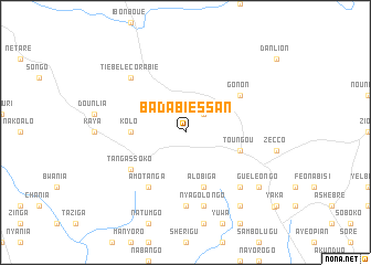
Badabiessan (Burkina Faso)Badabiessan is a town in Burkina Faso. An overview map of the region around Badabiessan is displayed below.
regional and 3d topo map of Badabiessan, Burkina Faso ::
Badabiessan airports ::
The nearest airport is OUA - Ouagadougou, located 157.4 km north west of Badabiessan.
Other airports nearby include TML - Tamale (165.3 km south), Nearby towns ::
Kassola (2.6km north east) //
Kolo (5.5km west) //
Alobiga (5.8km south) //
Toungou (5.8km east) //
Gonon (6.6km north east) //
Tangassoko (6.6km south west) //
Amotanga (6.6km south west) //
Baziengo (7.4km south) //
Nyagolongo (7.6km south) //
Tiébélé Corabie (7.8km north west) //
Guien (7.8km south east) //
Guéléongo (9.2km south east) //
Songo (9.2km south east) //
Garouendé (9.2km south east) //
[all distances 'as the bird flies' and approximate] 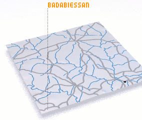 Places with similar names to Badabiessan, Burkina Faso ::
// Boat Basin (CA)
// Batey Bisonó (DO)
Disclaimer :: Information on this page comes without warranty of any kind |
||
|
Where is Badabiessan? Elevation and coordinates ::
Latitude (lat): 11°3'0"N Longitude (lon): 0°56'0"W
Elevation (approx.): 258m (map arrows pan, magnifying glasses zoom) |
||
|
Visiting Badabiessan? Hotel/Accommodation ::
Book a hotel in Badabiessan Travel Guide ::
rental cars ::
car rental offers GPS waypoint ::
download a GPX waypoint (PoI) of Badabiessan for your GPS receiver
|
||