|
search place name
|
||
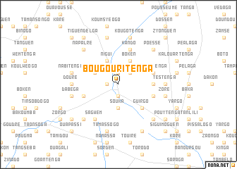
Bougouritenga (Burkina Faso)Bougouritenga is a town in Burkina Faso. An overview map of the region around Bougouritenga is displayed below.
regional and 3d topo map of Bougouritenga, Burkina Faso ::
Bougouritenga airports ::
The nearest airport is OUA - Ouagadougou, located 108.5 km west of Bougouritenga.
Nearby towns ::
Zéguédéga (1.8km west) //
Salaren (1.9km north) //
Kolokom (1.9km south) //
Zakarga (1.9km north) //
Yargo (1.9km north) //
Ouapassi (2.6km north east) //
Souka (3.7km south) //
Nigui (4.1km north west) //
Boken (4.1km north east) //
Imiga (4.1km north west) //
Guirgo (5.2km south east) //
Boaken (5.4km east) //
Kando (5.8km north) //
Digré (5.7km west) //
Nokomtenga (5.7km east) //
Lawen (5.7km east) //
Sagwèm (6.6km south west) //
Douré (7.2km west) //
Tèstenga (7.2km east) //
Dabéga (7.5km west) //
Boumtenga (7.5km west) //
Nabitenga (7.5km west) //
Temnoré (7.6km north) //
Tamassogo (7.6km south) //
Kougo Tenga (7.6km north) //
Kourit Yaoguen (7.5km east) //
Zore (7.5km east) //
Kongoussen (7.8km north west) //
Napalré (7.8km north west) //
[all distances 'as the bird flies' and approximate] 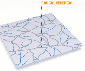 Places with similar names to Bougouritenga, Burkina Faso ::
// Bagouri-Tounga (BJ)
// Bougaratanga (BF)
Disclaimer :: Information on this page comes without warranty of any kind |
||
|
Where is Bougouritenga? Elevation and coordinates ::
Latitude (lat): 12°18'0"N Longitude (lon): 0°31'0"W
Elevation (approx.): 303m (map arrows pan, magnifying glasses zoom) |
||
|
Visiting Bougouritenga? Hotel/Accommodation ::
Book a hotel in Bougouritenga Travel Guide ::
rental cars ::
car rental offers GPS waypoint ::
download a GPX waypoint (PoI) of Bougouritenga for your GPS receiver
|
||