|
search place name
|
||
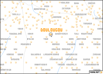
Doulougou (Burkina Faso)Doulougou is a town in Burkina Faso. An overview map of the region around Doulougou is displayed below.
regional and 3d topo map of Doulougou, Burkina Faso ::
Doulougou airports ::
The nearest airport is OUA - Ouagadougou, located 41.2 km north of Doulougou.
Nearby towns ::
Baraléongo (1.8km west) //
Linogwé (1.9km south) //
Nabadogo (1.9km south) //
Towé (2.6km south west) //
Koukouli (2.6km south west) //
Sulimiégou (2.6km south east) //
Kalkiendé (3.4km north east) //
Sampogrétenga (3.5km north east) //
Guidritenga (3.6km east) //
Borogo (4.1km south east) //
Tanguen (4.9km north) //
Tangséga (5.1km north) //
Toundou (5.1km north) //
Séloguen (5.3km north east) //
Godin (5.6km south) //
Roundé (5.7km north) //
Zogo (5.8km north) //
Kouyougou (5.7km east) //
Kouloko (5.8km south) //
Yougtenga (5.8km north east) //
Bissiga (5.9km north) //
Gounguen (6.0km north west) //
Karé (6.1km north) //
Boutougou (6.2km north west) //
Natenga (6.4km north) //
Komtigré (6.4km north) //
Poédogo (6.5km north west) //
Karporé (6.5km north) //
Yansaré (7.1km north) //
[all distances 'as the bird flies' and approximate] 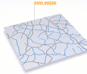 Places with similar names to Doulougou, Burkina Faso ::
Disclaimer :: Information on this page comes without warranty of any kind |
||
|
Where is Doulougou? Elevation and coordinates ::
Latitude (lat): 11°59'0"N Longitude (lon): 1°28'0"W
Elevation (approx.): 333m (map arrows pan, magnifying glasses zoom) |
||
|
Visiting Doulougou? Hotel/Accommodation ::
Book a hotel in Doulougou Travel Guide ::
rental cars ::
car rental offers GPS waypoint ::
download a GPX waypoint (PoI) of Doulougou for your GPS receiver
|
||