|
search place name
|
||
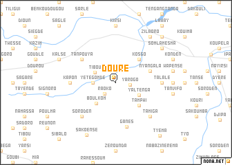
Douré (Burkina Faso)Douré is a town in Burkina Faso. An overview map of the region around Douré is displayed below.
regional and 3d topo map of Douré, Burkina Faso ::
Douré airports ::
The nearest airport is OUA - Ouagadougou, located 81.8 km south east of Douré.
Nearby towns ::
Yarogo (2.3km east) //
Raoko (2.6km south west) //
Yétégomdé (3.6km west) //
Tibou (3.7km north west) //
Yaltenga (4.2km south east) //
Boulkom (4.6km south west) //
Kosgo (5.2km north east) //
Tampwi (5.2km south east) //
Nyangala (5.7km east) //
Tanpouya (6.6km north west) //
Talalé (7.2km east) //
Kapon (7.2km west) //
Ganés (7.4km south) //
Tamiga (7.8km south east) //
Soroden (7.8km south west) //
Somlamèsma (9.1km north east) //
Zilaoro (9.2km north east) //
Sakoensé (9.7km south west) //
Tanguen (10.4km north east) //
Tyéma (11.1km south east) //
[all distances 'as the bird flies' and approximate] 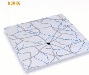 Places with similar names to Douré, Burkina Faso ::
Disclaimer :: Information on this page comes without warranty of any kind |
||
|
Where is Douré? Elevation and coordinates ::
Latitude (lat): 12°58'0"N Longitude (lon): 1°56'0"W
Elevation (approx.): 318m (map arrows pan, magnifying glasses zoom) |
||
|
Visiting Douré? Hotel/Accommodation ::
Book a hotel in Douré Travel Guide ::
rental cars ::
car rental offers GPS waypoint ::
download a GPX waypoint (PoI) of Douré for your GPS receiver
|
||